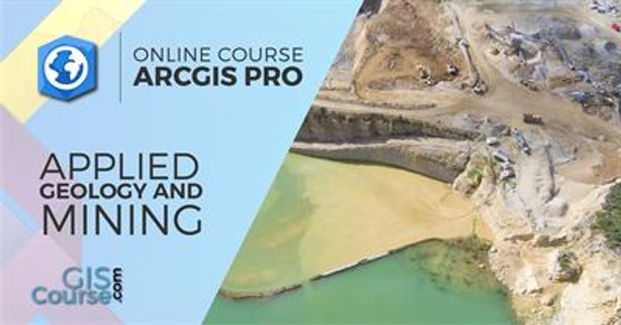
ArcGIS Pro Course applied to Geology and Mining – Online GIS Training
This course will qualify students in ArcGIS PRO, the new ArcGIS Desktop release, applying advanced GIS techniques to spatial analysis regarding mining activities, risk analysis, geological maps, project planning for mineral exploitation, decision making support, etc.
Students will gain knowledge in the usage of ArcGIS PRO software with application in geology and mining planning activities (environmental impact studies, environmental documents, mineral deposits estimation, etc.). They will master the creation of high quality maps, spatial multi-criteria analysis for mining activities management.
-
Most popular related searches
Online Training

Enrolled students in this online course will have access to our virtual e-learning platform (which is available 24 hours), where they will find the content of the course, practical exercises, forum discussion and additional content. One of the advantages of this online platform, is that students can benefit of real time support and assistance offered by the instructor (2 hours per week), whom they can contact via direct messages, regarding course related issues, at any moment. They can also contact the instructor via email.
Goals

- Demonstrate the importance and practicality of GIS in engineering, geology, mining activities and environmental management studies.
- Understand all the essential concepts, needed for an advanced manipulation of ArcGIS PRO and GIS in general, along with practical application in environmental and mining activities management.
- Learn about GIS key tools used in the management of raster and vector data models, the creation of high quality cartography products and the development of complex spatial analysis.
- Find out about all the existing difficulties and solutions in the design of GIS environmental and mining activities studies through practical exercises.
- Prepare and edit your own data, develop your own layouts and high quality map products for environmental and mining activities impact studies, etc.


