
Transient Technologies LLC
Ground Penetrating Radars (GPR) for Geology and Environment - Environmental
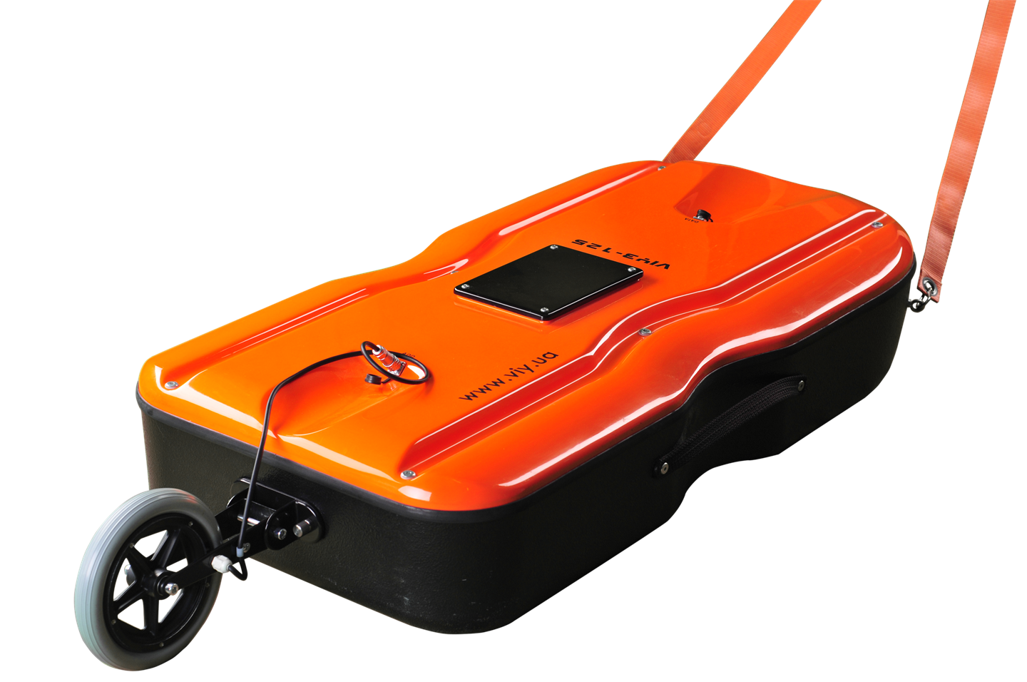
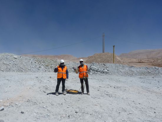
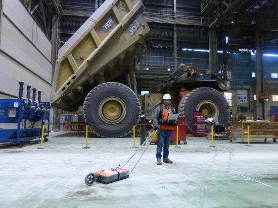
VIY3 GPRs allow to have a topography of subterrain structure down to 15 meters. That the good application for underground water exploration, searching for harmful chemical pollutions and underground cavities finding.
Most popular related searches
ground penetrating radar
underground water
chemical spill
ecological assessment
groundwater mapping
contamination mapping
contaminant mapping
pipeline mapping
geology
geophysics
GPR helps to find different solutions in geophysics and ecological assessments:
- Ground scanning to map underground layers and items
- Assessment of soil thickness
- Discovering and mapping of ground waters
- Underground chemicals spilling and dangerous pipelines leakage mapping
- Ground contamination areas mapping
- Underground deep fractures and ruptures locating
In many cases, GPR assessment allows to avoid need in drilling, that saves costs and time for carrying out explorations
The latest VIY3 software gives a possibility to get 3D images of underground items and layers, and make different slices of this image in different planes.
Stay in the loop!
Select your areas of interest to receive industry updates.