Raymetrics S.A.
Laser based remote sensing instruments for air pollution monitoring applications - Monitoring and Testing - Air Monitoring and Testing
FromRaymetrics S.A.
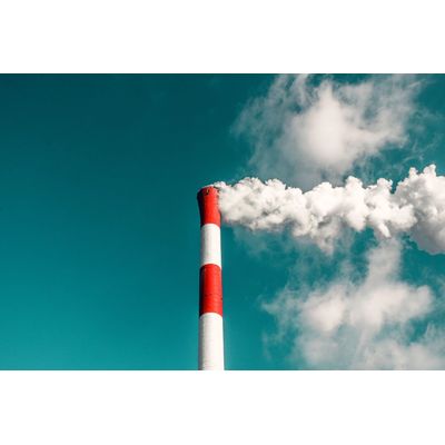
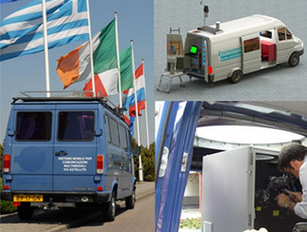
3D scanning LIDARs are now being used by open-pit mines and other heavy industries to track and better understand airborne pollution problems. Since 2011 Raymetrics has been providing remote dust tracking services to industry.
Most popular related searches
laser remote sensing system
pollution monitoring
laser remote sensing
airborne pollution
pollution monitoring system
early warning system
3D scanning LIDAR
air pollution monitoring
remote sensing system
air contamination monitoring
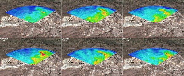
For each service, Raymetrics provides a LIDAR, GPS, weather station and an in-situ particle counter. The service takes approximately one week (and should be repeated at several intervals to account for weather changes and seasonal variation). Service deliverables include a customized report on airborne pollution plus all raw data.
- Identify and categorize pollution plumes and sources
- Provide data on level of airborne pollution (for air quality)
- Early warning system for incoming dust (e.g. for local towns)
- Assess long-range transport potential of pollution
- Allow for targeted spraying to damp airborne dust
- Track dust from individual events (e.g. blasts in mines)
- Provide peace of mind to local populations and government
Stay in the loop!
Select your areas of interest to receive industry updates.