
WKC Group
How to Quantify Carbon Capture Using Remote Sensing
Feb. 27, 2023- By: Mark Brown
Courtesy ofWKC Group
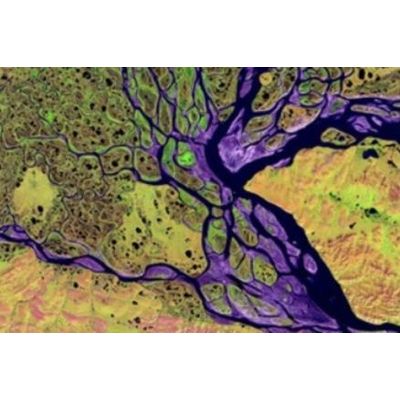
An important requirement for calculating carbon capture in ecosystems at a specific site is acquiring the area and/or volume of the ecosystem that is being investigated.
Typically, this can involve a range of geospatial technologies such as satellites, drones, and light detection ranging (LiDAR), combined with Geographical Information System (GIS) software. These technologies enable information about specific ecosystems to be captured far quicker, over much wider areas, and with far greater accuracy, than if the information was to be captured exclusively by field team surveys.. Read more
Most popular related searches