

AABSyS IT Private Limited services
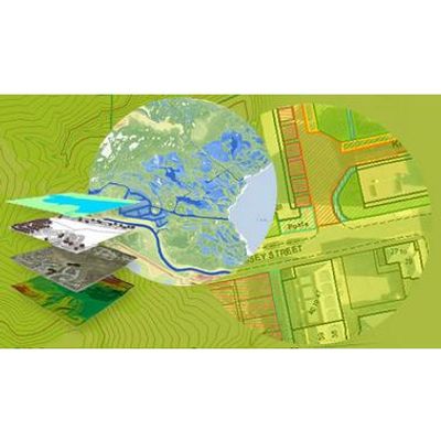
AABSyS - GIS Services
AABSyS provides numerous GIS services to its clients all over the world. The GIS services rendered by AABSyS allow for the visualization of geographic data, analysis of spatial relationships, and efficient data management. The GIS data conversions allow data from different sources to be merged in one common format, which allows for easy access, analysis and utilization.
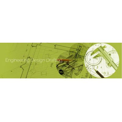
AABSyS - Engineering Design Drafting Services
As a prominent GIS and CAD company, AABSyS has been providing CAD Services globally since 1998. We are a one-stop solution provider for specialized services in the domain of Architectural, Structural, Electrical, Mechanical, and Electronics engineering design and drafting.
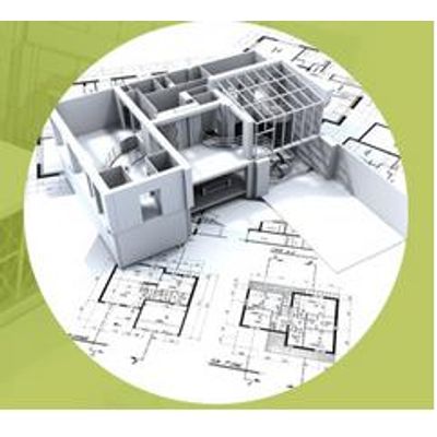
AABSyS - Building Information Modeling (BIM) Services
Building Information Modeling (BIM) enables architects, designers, engineers and project managers with an improved mechanism to approach the design, documentation and management of building projects. AABSyS supports customers in the Architecture, Engineering and Construction (AEC) industry to plan, design, construct, operate and maintain their projects efficiently.
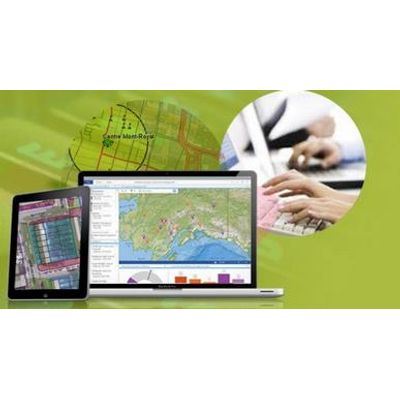
AABSyS - Technology Services
AABSyS focuses on end to end offerings in technology services. AABSyS pioneering efforts enable it to specially weave its solutions into customer environments. The company provides technology services that consistently meet or exceed customer’s expectations.

AABSyS - Data Engineering Services
Data engineering involves the collection, formatting, processing and archival of meaningful data that could be retrieved as and when necessary in order to make informed decisions. Data engineering enables organizations to retrieve and re-use data in an efficient manner as and when required. Effective data engineering enables digital governance, brings transparency and increases efficiency in the organization.
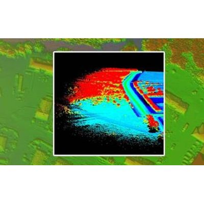
AABSyS - LiDAR Services
AABSyS offers professional Airborne and Terrestrial LiDAR services that help map physical features with very fine resolutions.
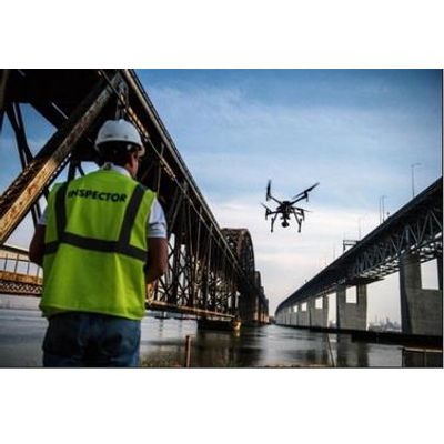
AABSyS - Drone Mapping Services
Drones are Unmanned Aerial Vehicles which are remotely piloted by well-trained professionals and has potential industrial and civil usages. Right from the establishment of a general grade of an area to creating detailed maps of every square foot, drone mapping services makes it easier, faster, and safer for surveyors, thereby eliminating the need for physical surveys which consumes more time, efforts, and are often prone to errors too.