Above software
Above - Aerial Topographic Mapping Software for Plant Design and Construction
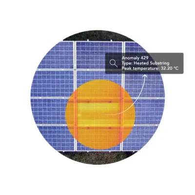
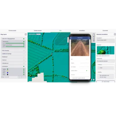
Above offers a cutting-edge aerial topographic mapping service specifically designed to enhance plant design and construction projects. This service leverages both aerial and ground-based surveying methods to deliver high-resolution site maps, which include precise elevation data, in significantly less time and at reduced costs compared to traditional methods. As sites grow in size and complexity, Above’s integration of digital collaboration tools such as SolarGain and SolarGain Mobile enables effective teamwork between office and on-site teams. Users can annotate features, and link observations and site photos to exact geolocated points on the maps. Unlike generic mapping data from Google Earth, Above`s high-definition topographic data ensures accurate plant layouts, which can enhance energy yield and protect projected revenues.