
Aerial Imaging Technology services

Oil and Gas Services
Aerial Imaging Technology specializes in performing regular maintenance inspections, as well as aerial data collection for all sectors of the petroleum energy industry. We are fully equipped and trained to perform even the most exacting inspections, in any climate or weather condition.

Industrial Infrastructure Inspections Service
Industrial Infrastructure Inspection is just one of many services our company provides. Using UAVs for infrastructure inspection and monitoring represents significant advantages in regards to condition monitoring and maintenance planning. Drones are a perfect solution because they make those hard-to-reach areas very accessible at minimal risk. They also offer great flexibility for wide area coverage with a lower cost. Our remotely piloted, multi sensor aerial platforms make infrastructure inspection efficient and highly effective.
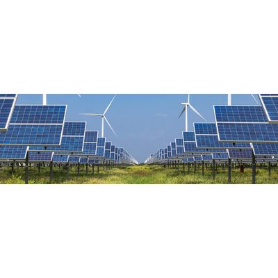
Wind and Solar Asset Inspection Service
Wind and Solar Farm Inspections are two of the many services our company delivers. We provide detailed visual inspection of complete systems, as well as individual component inspection.
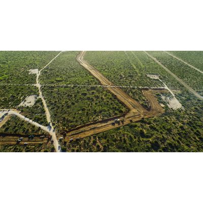
Aerial Mapping Services
Orthographic Land Mapping is one of the services our company offers. Using large UAV`s, we can capture data covering any size acreage, and export in a variety of formats. Our wide range of deliverables include: Color-coded Topographical maps, Orthomosaics, and Contour Line Maps. From 60 to 60,000 acres, we can take on any size project.