

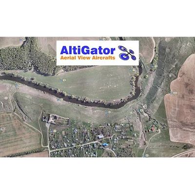
AltiGator software
AltiGator Metashape - Photogrammetry with Agisoft Metashape Pro
Agisoft Metashape is a stand-alone photogrammetric software solution. It allows automatic generation of dense point clouds, textured polygonal models, georeferenced true orthomosaics and Digital Surface Model (DSM) / Digital Terrain Model (DTM) from still images.
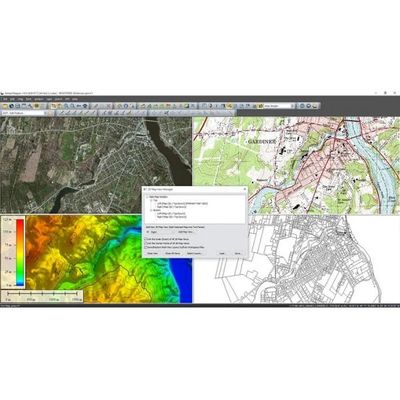
AltiGator GlobalMapper - Standalone Spatial Data Management Tool Software
Global Mapper software is an affordable and easy-to-use GIS application that offers GM logo 1 - Global Mapper: GIS for everyoneaccess to an unparalleled variety of spatial datasets and provides just the right level of functionality to satisfy both experienced GIS professionals and beginning users. Equally well suited as a standalone spatial data management tool and as an integral component of an enterprise-wide GIS, Global Mapper is a must-have for anyone who works with maps or spatial data.
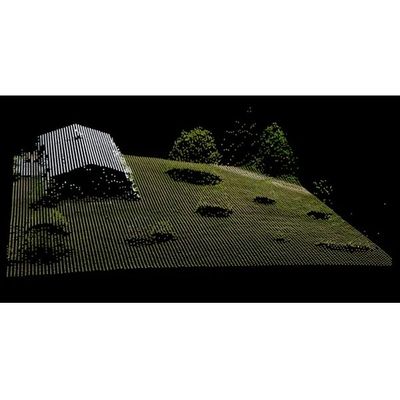
AltiGator Pythagoras - CAD & GIS Software
Pythagoras is designed to provide solutions for surveying, infrastructure, construction, agriculture and dredging in an all-in-one truly “360° compatible” thanks to the multiple modules available. Complete and efficient, Pythagoras is designed to serve the needs of surveyors and engineers by producing sophisticated drawings and calculations through simple operations. Pythagoras software is designed to provide solutions for Surveying, Infrastructure, Construction, Agriculture and Dredging in an all-in-one package truly “360° Compatible”.