

Apex Engineering Service Ltd. services
3D Laser Scanning & Modelling
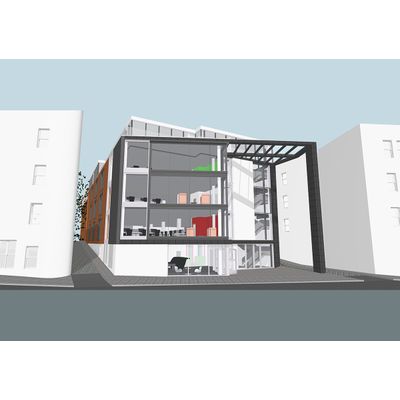
Apex - Building Information Modelling Service
As a leader in utilizing 3D Laser Scanning technology, we developed a method which delivers really accurate and fast survey information in a BIM-ready model. Our team is ready to work within the design and construction industry (buildings, infrastructure and utilities) to create a BIM models with huge database of information. Our process is created for time and cost savings and what is most important, leads to a project’s success.
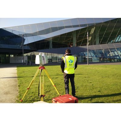
Apex - 3D Scanning Service
Apex Engineering Services pioneering use of 3D high definition laser scanners. Our long-term use of laser scanner technology has proven time and time again, over a wide range of different projects and applications, to reduce on-site and drawing times by as much as 75%.
Geotechnical and Structural Monitoring Services
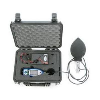
Apex - Noise and Vibration Monitoring Services
Construction activities such as blasting, piling, dynamic compaction and the operation of heavy construction equipment induces noise and structural vibrations.
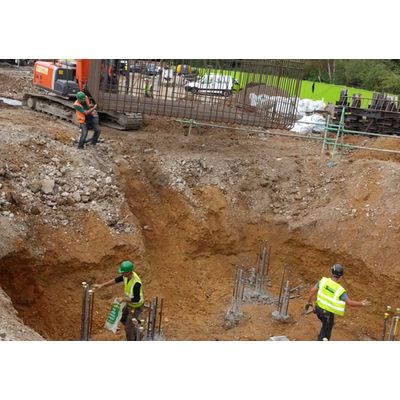
Construction Site Engineering
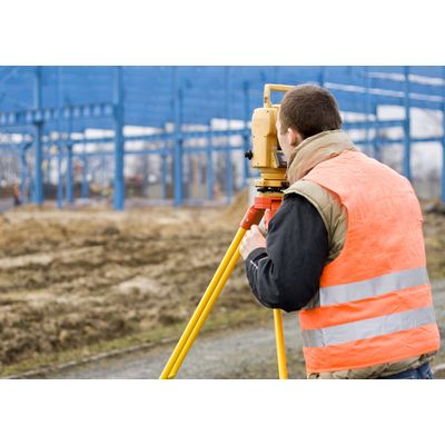
Apex - Setting Out Service
Using a mix of robotic survey equipment and GPS technology, along with industry standard software and our own bespoke applications, Apex Engineering Services engineers transfer data directly from the design drawing to site – without further intervention. Our setting out processes thus eliminate many of steps in which errors typically occur.
Apex - Piling Service
Our high skilled and experienced civil engineers are ready to take a part in any piling project. Using advanced and high precision survey equipment we minimise the risk of errors. Apex Engineering Services software accurately and automatically selects the centres of piles and other objects. This makes the process of picking each point manually with a cursor redundant, eliminating another time-consuming convention that tends to produce. The resulting data is exported to a file and processed to the setting out stations before transmission in the preferred format.
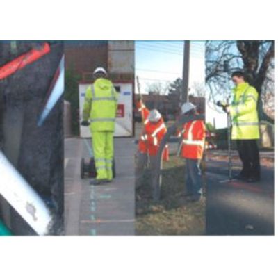
Utility Mapping Surveys (PAS 128)
Apex - Utility Surveys Service
Apex Engineering Services utility mapping division provides reliable safeguard against costly delays and other financial losses. All operatives are QCF level 3 trained and experienced in utility mapping, utility location and cable avoidance. We offer unique surveys services providing a better understanding of the infrastructure above and below the ground, providing. We provide topographical surveys for better understanding of area where the services are located. Our utility surveys detect and trace electricity, telecoms, cable TV, ductile iron water and sewer pipes, gas services and comprise the following elements:
Apex - Desktop Utility Search Service
We will: Identify known utility owners within the survey area. Request asset information from identified utility owners. Collate all data on utility owners and their assets. Deliverable including quality level: QL – D.
Rail Engineering Services
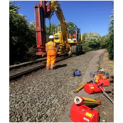
Apex - Rail Engineering Services
We are proud to deliver a comprehensive range of engineering and surveying services to the Rail Industry standard. Not only do we offer excellent value for money, but our use of cutting-edge technology enables us to make a demonstrable contribution to our clients’ ability to bring projects in on time and on budget.
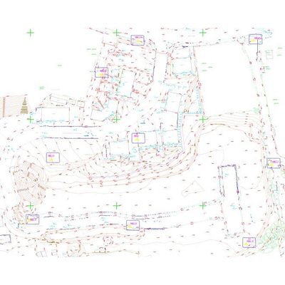
Surveys
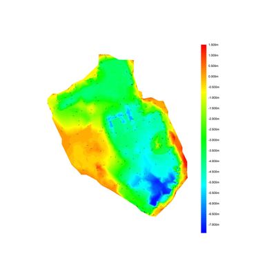
Apex - Volumetrics/Cut & Fill Surveys Services
We record all site levels and features to generate enough information to create an accurate terrain model. We then overlay it with 3D strings and a formation model produced from the design layout, slicing the data into a number of sections from which the cut and fill volumes can be calculated (a detailed report that includes chainage, position and volume is produced for each section). Finally, we use our soil condition survey to calculate the compaction/bulk factor for best possible volume result. Once a detailed survey of the site has been completed and the design strings have been created, all data is processed by our in-house design team.
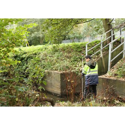
Apex - Topographical Surveys Services
Apex Engineering Services engineers collect detailed information about natural and man-made land features and elevations in an efficient and cost-effective way to deliver data for establishing land boundaries, rights of way and fence lines, subdividing areas of land into lots, calculating areas, distances, directions, and cut and fill volumes, setting out new structures, and so on.