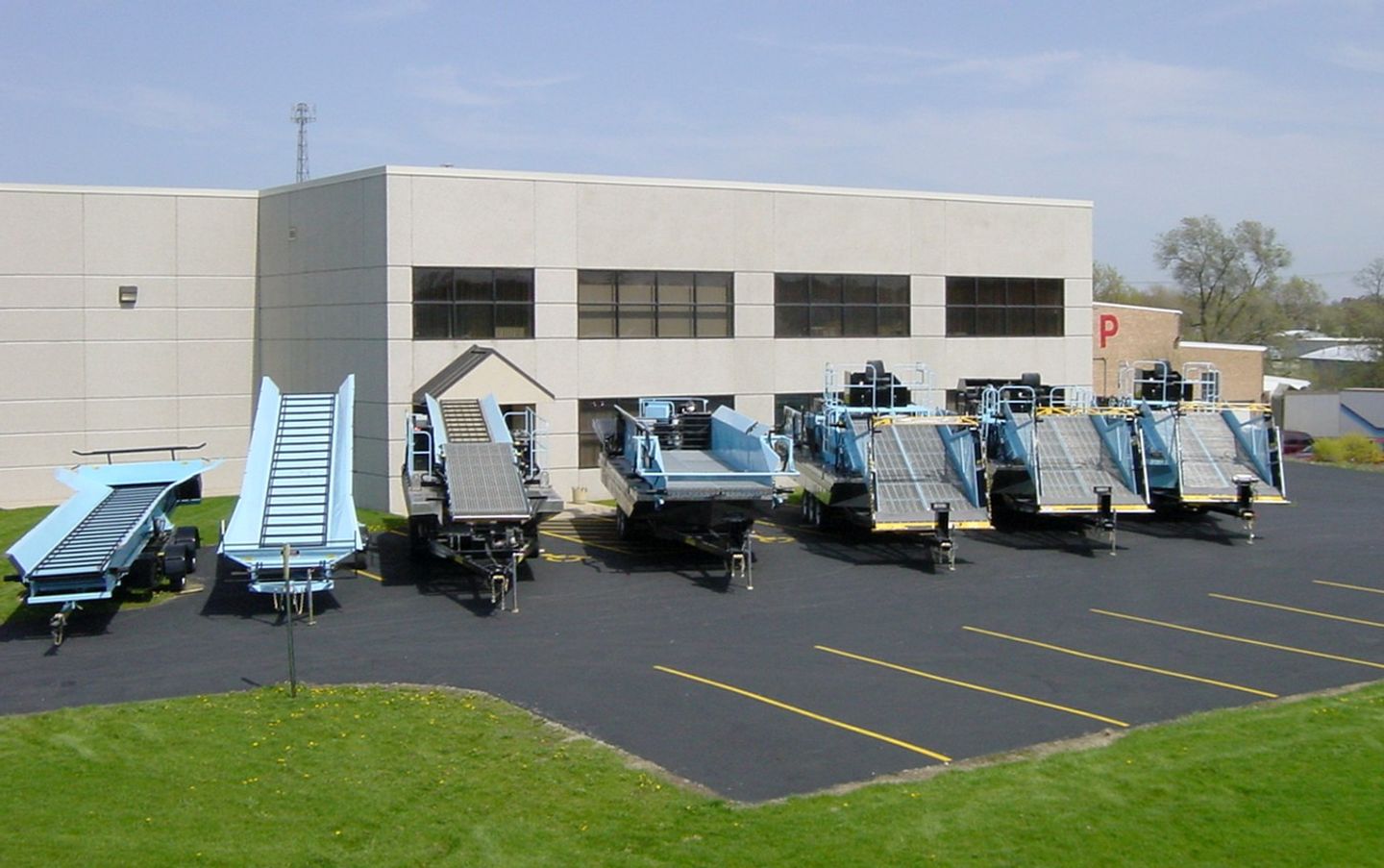

Aquarius Systems, a division of D&D Products Inc. articles
Background Information
- 60-mile-long Hillsborough River runs through the City of Tampa before flowing into Tampa Bay and eventually the Gulf of Mexico
- The Hillsborough River watershed drains an area of about 675 square miles
- 600 miles of stormwater pipes manage over 50 inches of annual rainfall
- Each year, 3.33 billion plastic pieces flow from the Hillsborough River into the bay
- 725,000 Tampa residents rely on the Hillsboro
Background Information
- Private community offers wide open spaces, nature preserves and wooded areas
- Over 120 acres of lakes and ponds
- “Green” living community
- Filamentous algae is taking over and grows in abundance in shallow water ponds
- Floating on the surface water, algae impedes swimming, fishing and other recreation
Background Information
- 300-acre man-made lake formed by a dam
- Fed by over 200 freshwater natural springs
- Over 22 miles of shoreline with 35 coves
- Surrounded by rolling hills and lush fields
- Developed in the 1960s as a summer vacation community
- Now a 3,500-acre private gated community
Background Information
- Located just outside Valdez, Robe Lake is an important part of the Valdez ecosystem
- Slow moving with a gravel bottom creates the ideal spawning ground for salmon
- Freshwater lake with three tributary streams leading to Prince William Sound and eventually the Pacific Ocean
- Lake ecology changed and weeds grew on the gravel bottom spawning beds
- Valdez Fisheries Development Assn operates one of the large
Background Information
- Lower Passaic is a 17 mile stretch of river in New Jersey
- Decades of industrial dumping has polluted sediment
- Passaic River systems’ drainage basin covers 935 miles
- EPA declared this a Superfund Site to remove contaminants
- Floatables removal added to the Passaic River/Newark Bay Restoration Program
Background Information
- Kinnic River is 9.6 miles long and 93% urban land cover
- Watershed covers about 25 square miles and is home to 145,000 people
- Located in one of the most populated and poorest areas of the City of Milwaukee
- Flows into Lake Michigan through the Milwaukee Estuary
- Restoration efforts are underway to improve its ecosystem and address flood risks
Background Information
- Natural, glacial kettle lake formed over 12,000 years ago
- Considered a “Priority Lake” meaning it is considered an outstanding natural resource and needing protection and long term management
- 423 acres of lake surface, 1.43 miles long with 4.13 miles of shoreline
- Maximum depth is 44’ with an average depth of 18’
- Part of the Mississippi drainage area with a watershed are of 4,
Background Information
- 176-square-mile Anacostia River flows into the Potomac River
- Anacostia one of the nations slowest and most polluted rivers
- The watershed is home to over 800,000 residents in Maryland and Washington DC
- The Potomac River provides drinking water for 500,000 residential, commercial and governmental customers
- Waterways must remain navigable and safe for regattas and other boating activities
Four hydroelectric facilities produce 550 megawatts of hydroelectricty. The facilities consists of 174 miles of streams with a total drop of 7,900 feet. The drainage basin area is 1,050 square miles consisting of forest and wildlife habitat. Fish passage through the dams was a major environmental concern; fish passage facilities sort and transport fish either upstream or downstream.
2500-acre flowage created by a dam across the Fox River. Mostly a muck bottom with portions as sand. 13.1 miles long with 32.2 miles of shoreline. Watershed area is 600 square miles. Permanent and seasonal homes with much of the lakeshore footage wooded and undeveloped.