
- Home
- Companies
- Aquaveo, LLC.
- Software
Aquaveo, LLC. software
Modeling Software
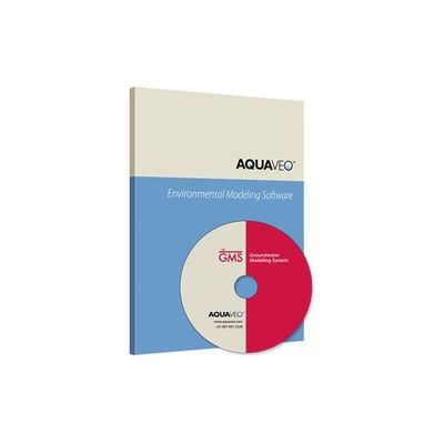
Aquaveo - Model v10.5 - Groundwater Modeling System (GMS)
Create 3D models with speed & simplicity using GMS - the most intuitive & capable platform for groundwater & subsurface simulations.
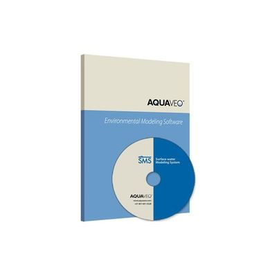
Aquaveo - Model v13.1 - Surface-water Modeling System (SMS)
Access a full range of coastal and riverine solutions with SMS - the leading application for surface-water modeling.
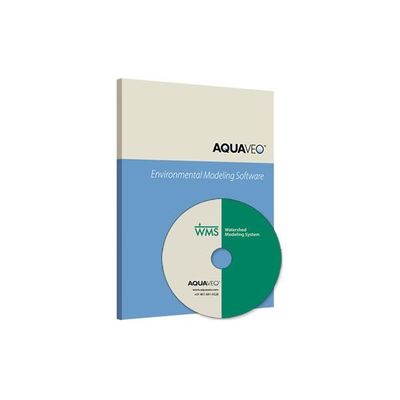
Aquaveo - Model v11.0 - Watershed Modeling System
All-in-one hydrologic and hydraulic solutions and pipe network tools.
Web Applications
CityWater - Visualize, Reference, & Analyze Water Distribution Networks
Water Distribution Management: CityWater is the online web application for managing water distribution network models. The software allows individuals across the organization to visualize, reference, and analyze existing models in a familiar map-based browser environment while maintaining the data integrity of the model.

AGWA - Online Web Application
Online web application for creating, running, and viewing GSSHA watershed models. Automated GSSHA Watershed Analysis (AGWA): AGWA is an online web application for managing proposed changes to watershed models. The app is powered by GSSHA--a hydrologic model developed by the U.S. Army Corps of Engineers. It offers a user-friendly environment that automatically updates the underlying model, streamlining the use of watershed-level modeling to analyze the impact of stormwater events on your community.
GIS Software

Arc - Model v3.5 - Hydro Groundwater Software
ESRI and Aquaveo are pleased to bring you the Arc Hydro Groundwater Tools to help you better manage your groundwater and subsurface data within ArcGIS. Based on the Arc Hydro Groundwater data model, the tools will enable you to take advantage of the ArcGIS platform to archive, manage, and visualize your groundwater information.