

B&B Ingenieurgesellschaft mbH
Refine by
Families
3 software found
B&B Ingenieurgesellschaft mbH software
Civil Engineering Software - Surveying
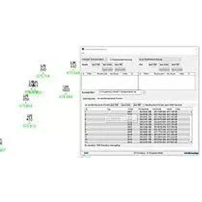
B-B-Ingenieurgesellschaft - Surveying Software
Surveying comprises the inclusion of important parts in civil engineering and serves here as a basis for entering, organization, administration and visualization of geospatial data.
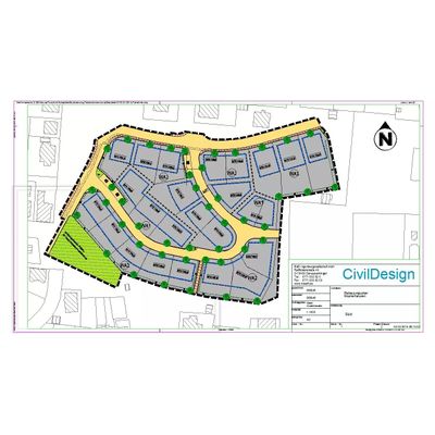
B-B-Ingenieurgesellschaft - Model BBSoft - Base Module Civil Engineering Software
The base module (SurveyCAD) is the basis for all other modules of the BBSoft civil engineering software. It takes over the complete project control (measuring data, drawings and texts) and arranges a smooth teamwork of the different program parts.
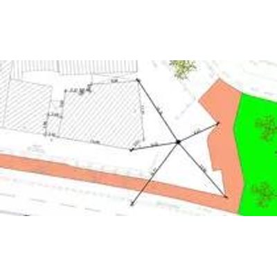
B-B-Ingenieurgesellschaft - Model BBSoft - Map Frame Software
A map frame of BBSoft creates a frame around your drawing or only around a section of it with desired size and adjustment. As a consequence of that the compilation of maps is speeded up, because the map frame manages all map formats and layouts centrally.