

Blue Marble Geographics software
Global Mapper Suite
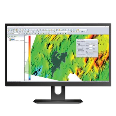
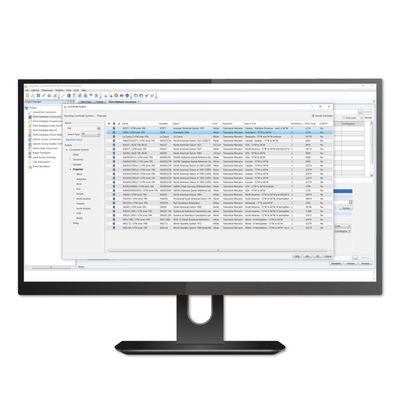
Global Mapper Pro - Model 24.1 - All-in-One GIS Software
Global Mapper Pro expands upon the extensive functionality of the standard version of the application for those with advanced workflows. You can utilize a comprehensive collection of tools for data creation, editing, advanced 2D and 3D analysis, point cloud processing, scripting methods for workflow automation, and much more. The comparison chart below shows the features and tools available in the Standard and Pro versions of Global Mapper.
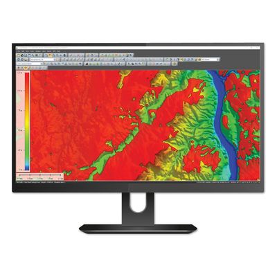
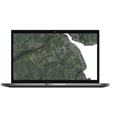
Global Mapper - Model 24.1 - Cutting-Edge GIS Software
Trusted by GIS professionals around the world. Global Mapper® is a cutting-edge GIS software that provides both novice and experienced geospatial professionals with a comprehensive array of spatial data processing tools, with access to an unparalleled variety of data formats.
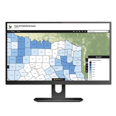
Global Mapper - Model 21 - Extension Software for MangoMap
Beginning with version 21 of Global Mapper, users can publish map data to an online map using MangoMap, providing a simple and efficient way to share geospatial data on any computer or mobile device.ploration.
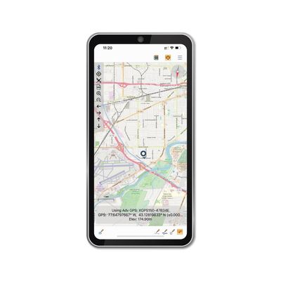
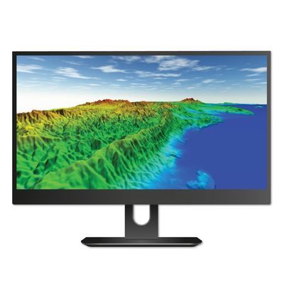
Global Mapper - Powerful iOS and Android Mobile Application
Global Mapper Mobile® is a powerful iOS and Android application for viewing and collecting GIS data. It utilizes the GPS capabilities of mobile devices to provide situational awareness and locational intelligence for remote mapping projects. A perfect complement to the desktop version of Global Mapper, the mobile edition provides maps-in-hand functionality for engineers, surveyors, wildlife managers, foresters, and anyone whose job requires access to spatial data in remote locations.form.
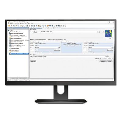
Geographic Calculator
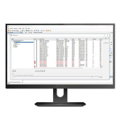
Geographic Calculator - Model 2023 - Geodetic Software
Geographic Calculator® is a powerful geodetic software for accurate coordinate conversion, datum transformation, and file translation. Built on the foundation of the largest geodetic parameter database available anywhere, it has particular strength in the fields of surveying, seismic data management, and energy exploration.
Software Development Kits
Global Mapper - Model 24.0 - Software Development Kit (SDK)
The Global Mapper Software Development Kit (SDK) is a toolkit that provides access to much of the functionality of the desktop application from within an existing or custom-built application. The SDK also enables the creation of custom toolbars and extensions to enhance the data processing and analysis functionality of the standard version of Global Mapper. This capability allows in-house developers to create a unique version of the software to meet their specific needs and requirements.
Global Mapper Pro - Model 24.0 - Software Development Kit (SDK)
The Global Mapper Pro Software Development Kit® is a powerful new addition to the Global Mapper SDK. The Pro version incorporates all of the point cloud processing functionality previously available in the (now retired) Lidar SDK, providing developers with numerous new and enhanced data processing and analysis tools including newly added support for developing Python scripts for use in the Global Mapper Pro application.
GeoCalc - Software Development Kit (SDK)
The GeoCalc Software Development Kit® (SDK) is a fully object-oriented class library designed for GIS professionals and software developers. This sophisticated and precise coordinate transformation toolkit allows developers to embed our technology into their custom geospatial software. We offer the underlying coordinate transformation capability of the Geographic Calculator within GeoCalc, a powerful Geodetic engine available for your own application or software development project. For more information about the product, visit the knowledge base, or contact sales@bluemarblegeo.com today.
GeoCore - Software Development Kit
GeoCore: The All-in-One Geospatial Data Conversion API. GeoCore Software Development Kit® (SDK) provides developers with the ability to embed powerful coordinate transformation and extensive file format translation capabilities into their geospatial software application. GeoCore includes the proven GeoCalc® SDK along with the ability to handle both raster and vector file format and geometry manipulation.