

Botlink software
Botlink InSites Drone Mapping Software
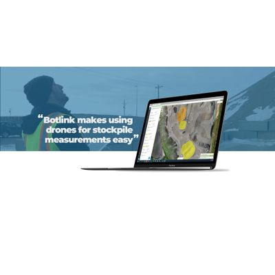
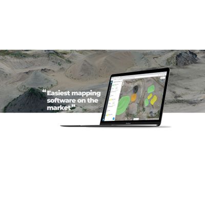
Drone Software for Stockpile Measurement
Evolve the work site with Botlink’s stockpile measurement tool. Increase frequency of data collection, lower costs, and discover the size of stockpiles within minutes. Botlink map stitching software is designed to be easy to use, and highly accurate. Map processing times are unrivaled, with a majority of maps being processed and returned to the customer within 30 minutes.
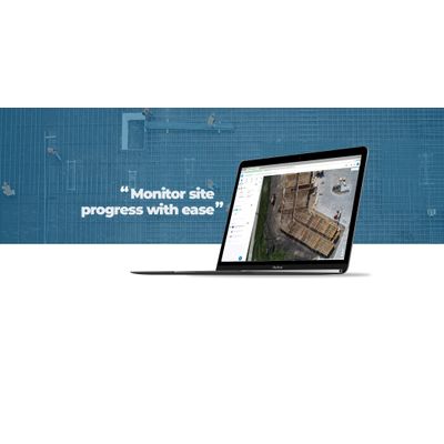
Automated Drone Software for Construction
Botlink’s software is about to evolve your construction site. Increase frequency of data collection, accurately and more effectively assess bids, and lower your costs. RIGHT DRONE FOR THE JOB: Botlink is compatible with fixed-wing, multi-rotor, and vertical takeoff and landing drones, allowing you to switch between drones based on your needs. HIGH DEFINITIONS MAP: Photo stitch aerial images into a single, high-definition map to stay up to date with your entire job site. 3D MODELS: Use automated drone flight technology to turn aerial 2D photos into 3D models. TERRAIN MODELS: Digital surface and 3D models identify high and low points or drainage problems.
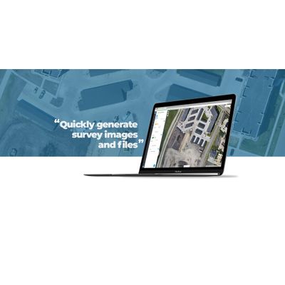
Drone Surveying and Mapping Software
Drone mapping capabilities are revolutionizing how sites are surveyed. Botlink is designed to deliver the information needed, in an easy and cost-effective package.