Datamine
4 software found

Datamine software

Mineral Exploration Software

LandTrack - Mining Compliance Software

LandTrack Systems’ software is designed to provide solutions to help you acquire, protect, manage, report, and track mineral title compliance, tenure related agreements and environmental conditions. It allows you to effortlessly wrap compliance and business processes around your tenure management. LandTrack Systems also delivers practical tenure compliance training designed to grow your knowledge and skill set, so you are more confident, effective, and efficient in preserving a company’s key assets; providing Directors further confidence with tenure security.


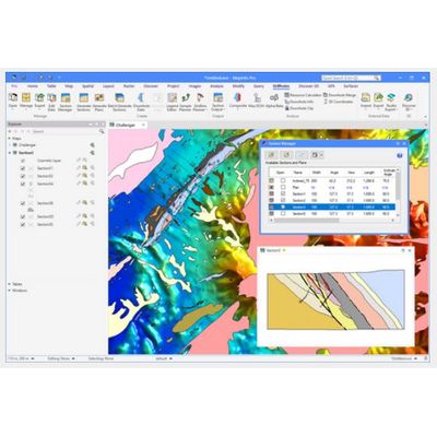
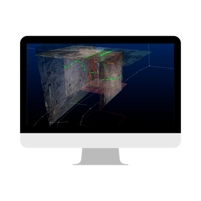
Discover - Exploration GIS Software

The ever-popular Discover exploration software is now compatible with two of the industry leading GIS platforms MapInfo Pro and ArcGIS Pro. Both versions are fully integrated with the must-have field mapping app Discover Mobile. Discover for MapInfo Pro is an Exploration focused product, assisting the exploration professional in their daily activities from data conversion, map making to field work. Discover is bundled with the industry leading MapInfo Pro tools we all know, and domain focused exploration functions.


Geology Software

Studio Mapper. - Face Mapping Software

Datamine Studio Mapper, together with Studio RM, is the only integrated mine mapping and structural modelling solution delivered on the same platform, with a consistent user experience. Designed for both touch and desktop devices, Studio Mapper stores field data in a managed but flexible database that encourages controlled data capture, storage, sharing and processing. As the definitive digital field book, Studio Mapper builds on the strengths of Datamine’s core Studio engine whilst delivering a versatile, feature-rich application for all field geologists. 

Sirovision - OP / UG Mapping & Analysis Software

Sirovision is developed in collaboration between Datamine and the Commonwealth Scientific and Industrial Research Organisation (CSIRO). It allows for the remote and safe capture of geological and geotechnical features while avoiding costly disruption to production activities. Mapping of both geological and geotechnical features is supported, along with automatic recognition of mineralogy. Further analysis tools for wedge detection and slope stability provide valuable inputs to geotechnical support designs and for identifying safety hazards in open pits and underground environments.