
DroneTechUAV Corporation
1 services found
DroneTechUAV Corporation services
DroneTech - Surveying, Mapping and Leak Detection Services
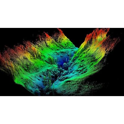
Surveying and mapping with drones, also known as drone photogrammetry, involves using unmanned aerial vehicles (UAVs) equipped with cameras to collect data for mapping and surveying purposes. Drone photogrammetry allows the creation of highly accurate and detailed maps and 3D models of land surfaces, buildings, and other structures. The use of drones in surveying and mapping allows for the collection of data quickly and cost-effectively, as well as the ability to access hard-to-reach or dangerous areas. Drone photogrammetry is used in various industries, including construction, agriculture, and environmental monitoring.