
EUROSENSE products
Hydrographic Survey Vessels
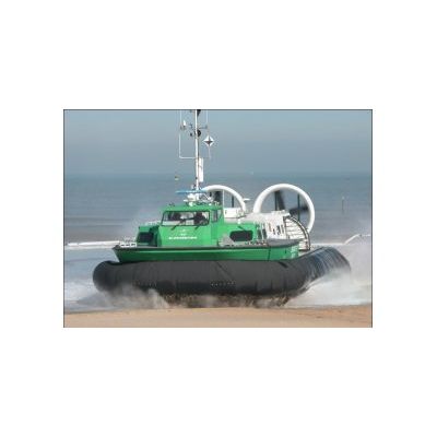
Beasac IV Hovercraft Platform
EUROSENSE operates hovercrafts for hydrographic survey since many years. The BEASAC IV survey platform is a powerful air propeller driven hovercraft. The main advantage of BEASAC IV is the high survey speed (> 20 knots) and this in combination with the amphibious capabilities.
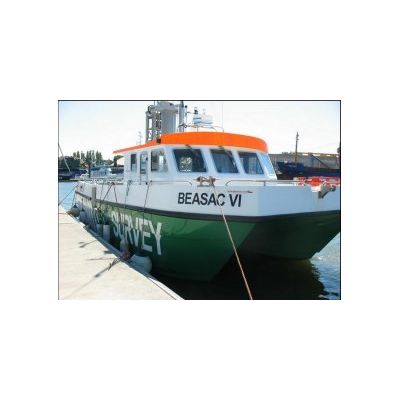
Beasac VI Platform
BEASAC VI is a stable catamaran, fully equipped with state of the art hydrographic equipment. The vessel has a central moonpool and an instrument elevator installation. The elevator contains all required sensors built in a mechanical very stable way. The clever design of the installation results in extremely stable calibration values and highly accurate survey results.
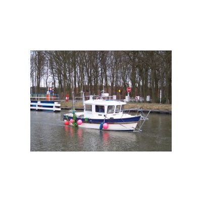
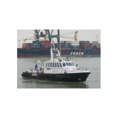
Model EB2 - Survey Vessel
Bathymetric and geophysical surveys are performed with “EB2”, a small but fast survey vessel. With its limited draught and powerful engine, this vessel is a valuable tool for all your detailed survey work.
Model Uranus - Survey Vessel
Eurosense has put a new hydrographic survey vessel in operation. The vessel is fully equipped with state-of-the-art equipment for highly accurate and cost effective survey work in shallow water. The extension of the current fleet of survey vessels allows flexible, fast and accurate services towards our growing number of customers.
Hydrographic Survey Equipment
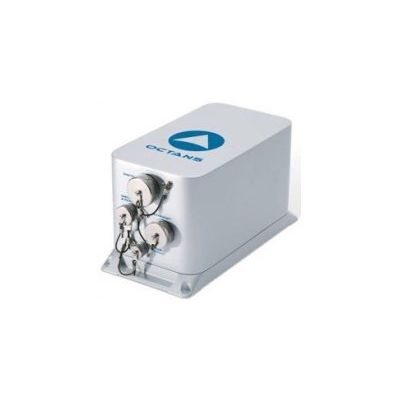
Positioning and Attitude Sensors
For positioning and attitude determination different sensors are available : Magellan LRK GPS Aquarius02 mobile and base stations, Septentrio AsteRx2/Polarx3 RTK GPS/Glonass receiver, Applanix Pos/MV 320 attitudesensor, Seatex Seapath 200 attitudesensor, IxSea Octans attitudesensor.
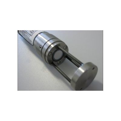
Model MiniSVS - Sound Velocity Probes
The Odom Digibar and Valeport MiniSVS sound velocity probes deliver reliable readings for sound velocity. The data acquisition, data processing and map production is done with Qinsy, Qloud en TerraModel and BricsCad. Also Caris Hips software and Applanix PosPac post processing software are excellent tools for the processing of the hydrographic data sets. The hydrographic department can also benefit of the know-how of the main company. So a whole suite of extra possibilities and tools are available to satisfy the customers’ needs.
Airborne Data Acquisition
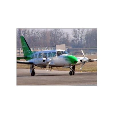
Aircraft
For aerial photography and sensor flights aiming at the collection of topographic and thematic data, EUROSENSE uses 4 company-owned twin-engine airplanes, equipped with one, two or three camera/scanner holes. The company-owned aircraft allow a flexible and optimal data acquisition. For corridor mapping EUROSENSE developed a special sensor platform that can be installed in a helicopter. Our aerial services are available 365 days a year and throughout the entire European territory.