
G-tec services
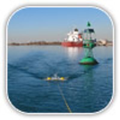
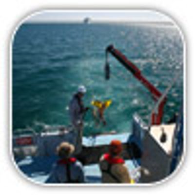
Dredging Services
G-tec performs pre-, intermediate and post dredging surveys, to support all kind of dredging and marine construction activities (pile driving, trenching, quay walls,..) in ports, access channels and rivers. G-tec provides 3D geological model, volumes to be dredged, rock mass characterization, differential charts and cross-sections to prepare dredging and marine works. G-tec`s view toward an integrated approach and its ability to deal with all the aspects of such projects, allows it to provide each of its clients with specifically integrated and designed solutions.
Ports & Coastal Development
G-tec`s personnel are formed to deal with all aspects of ports and coastal development projects, from the preliminary consulting services to environmental, geophysical and geotechnical studies. Skilled personnel are involved at each step, including engineers, surveyors, marine biologists, geologists, earth scientists, consultants as well as experienced project managers to coordinate their efforts. G-tec`s view toward an integrated approach and its ability to deal with all the aspects of such projects, allows it to provide each of its clients with specifically integrated and designed solutions.
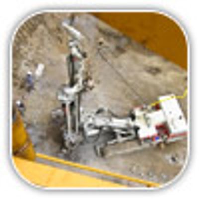
Infrastructures & Civil Engineering Services
G-tec has a long experience in civil engineering and infrastructures related projects such as HST, waterways, bridges, roads, tunnels...The understanding of the geology and its influence on the design of the project is a condition for successful completion of each project step. G-tec has the knowledge to plan and supervise geotechnical campaigns, to carry out geophysical campaigns and to organize fully integrated site investigations on land and water. Considering that there is not always a 100% solution for getting a clear view of the expected geological situations, choosing the right combination of geophysical and geotechnical tools is a matter of knowledge and experience and of gathering as much background info as possible.
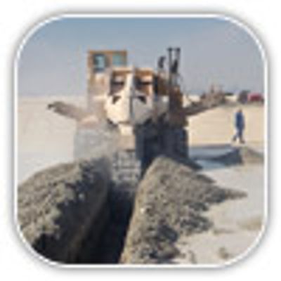
Pipelines & Cables
Locating pipes and cables is crucial for many marine and waterways projects. To this end G-tec uses various methods and equipments both magnetic and acoustic. The methods will be selected / combined depending on the type and size of the objects and whether they are located on the seabed or under it. Magnetometry surveys, for instance, allow the detection of small buried cables, which no acoustic method can do, by measuring the variation they bring about in the earth magnetic field.
Mining & Quarries Services
In the framework of mines and quarries development projects, G-tec can provide a combination of geophysical and geotechnical techniques together with a geological site analysis in order to deliver to best 3D view of the deposits (overburden, fractures, weathering, presence of voids...). Considering that there is not always a 100% solution for getting a clear view of the expected geological situations, choosing the right combination of tools is a matter of knowledge and experience and of gathering as much background info as possible.