

GeoLogic Computer Systems (GCS) software
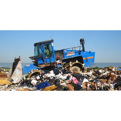
GeoLogic Orion - Density for Landfill Management Software
GeoLogic developed and patented its industry-leading deflection-based landfill GPS system using wheel tracks to indicate surface change. GeoLogic has led the landfill GPS industry since 2004, installing more than 60 landfill GPS systems at 40 municipal and privately-owned landfills throughout North America. The GeoLogic Orion™ System is powered by GCS:Density, the most advanced landfill software on the market. Increasing compaction, managing and tracking your fleet and constructing exactly to grade are only a few of the many features that make this the best landfill GPS system.
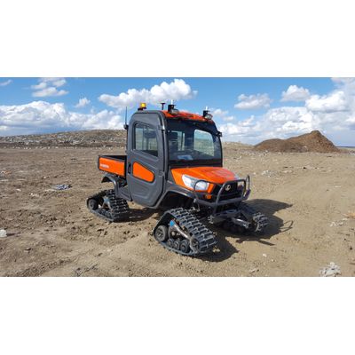
GCS:Topo - Topographic Data Software
GCS:Topo is designed to rapidly collect topographic data that can then be used to make topographic maps. Data collected this way gets around the problems of aerial data collection that can interpret the top of vegetation as ground surface, throwing off volume calculations significantly. Dirt contractors need to know what is there before bidding on a project or starting work, so that they can get paid for every yard of dirt moved. Rapid surveys of jobs in progress can document percentage of completion for billing purposes.
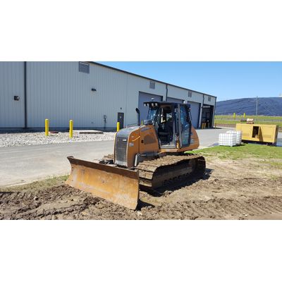
GCS:Dirt - Earth-Moving Machine Control Software
GCS:Dirt is a competitively-priced alternative to earth-moving machine control software from other well known names like Trimble, Topcon and Leica. GCS:Dirt can import plan data from most earthworks and CAD design software on the market. It also has support for the industry standard import formats such as DXF, or LandXML.
GCS:Dirt - Advanced Machine Control Tool
GCS:Dirt is an advanced machine control tool for implementing complex surface water management designs. GCS:Dirt can import plan data from most dirt design software on the market. It works very well with software designed for land forming and shaping, such as EziGrade, GradePlane or OptiSurface. It also has support for the industry standard import formats such as DXF, or LandXML.