
GeoTomo, LLC
- Home
- Companies
- GeoTomo, LLC
- Software
2 software found
GeoTomo, LLC software
GeoThrust - Geophysical Software
GeoThrust has been designed with a workflow architecture to obtain an accurate earth model and earth image in time and in depth from data recorded with irregular geometry in areas with rough topography, complex near-surface, and complex subsurface, with uncompromisingly high technical specifications for data analysis and quality control, but easy to learn and easy to use
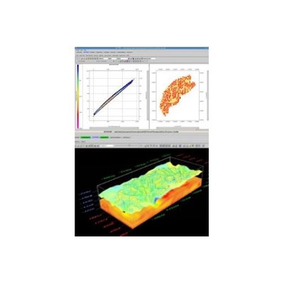
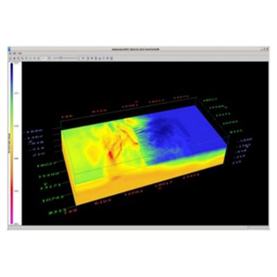
GeoTomo - Model TomoPlus - Comprehensive Near-Surface Solutions Package
TomoPlus is a comprehensive near-surface solutions package. It is designed to obtain an accurate near-surface velocity model , and derive accurate long and short wavelength statics solution to help seismic data processing.