

- Home
- Companies
- GeoView, Inc.
- Products
GeoView, Inc. products
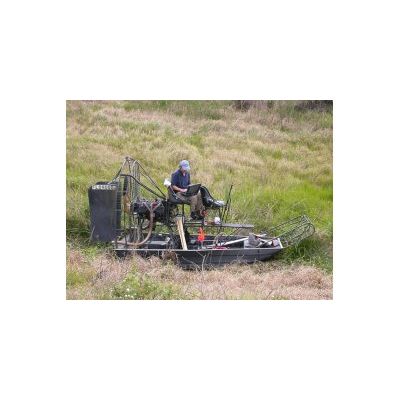
Land Based Methods

GeoView - Global Positioning Systems
Global Positioning Systems (GPS) have greatly improved the speed and accuracy of many types of geophysical surveys. The GPS data can either be integrated into the geophysical equipment or used to record the positions of the geophysical transects, obstructions and targets of interest. For land surveys, GeoView uses both Novatel and Trimble mapping grade GPS systems. The resulting accuracy is designed to be sub-foot. For marine surveys, an RTK system can be used to increase vertical accuracy to correct for tides and pitch and roll of GeoView’s survey vessel.
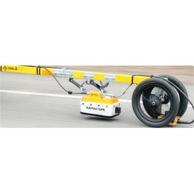
GeoView - Ground Penetrating Radar
GeoView owns and operates over 24 Ground Penetrating Radar (GPR) systems from the world`s leading manufacturers including MALA and GSSI. GeoView`s senior personnel have been using GPR for over 20 years and are well versed in the applications and limitations of the method.
GeoView - Slab Impulse Response (SIR) System
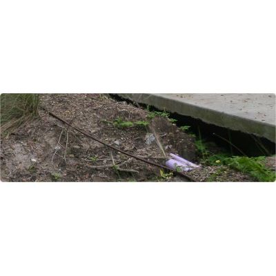
The Slab Impulse Response (SIR) system is designed to identify subgrade voids below on-grade concrete slabs that are less than two feet thick. The SIR method cannot identify the actual depth or thickness of possible voids, but can determine the lateral extent. The SIR method can also be used on other concrete structures to quickly locate areas with delaminations or voids in the concrete. SIR can be performed on reinforced and non-reinforced concrete slabs as well as asphalt or asphalt-overlay slabs.
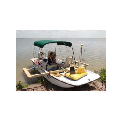
Marine Based Methods
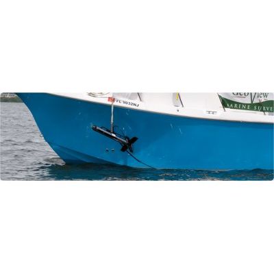
GeoView - Side Scan Sonar
Side scan sonar is used to create images of the seafloor. An acoustic beam is transmitted to either side of the side scan sonar survey track. As the acoustic beam travels outward from the side scan sonar, the seabed and other obstructions reflect portions of the sound energy back in the direction of the side scan sonar. The travel time and amplitude of these reflections are analyzed to create the seafloor images. During post processing, the targets lateral dimensions, height and geographic coordinates can be calculated.
GeoView - Sub-bottom Profiling Systems
Sub-bottom profiling systems identify and measure various marine sediment layers that exist below the sediment/water interface. A sound source emits an acoustic signal vertically downwards into the water and a receiver monitors the return signal that has been reflected off the seafloor. Other portions of the acoustic signal will penetrate through the seabed and be subsequently reflected as they encounter deeper soil or rock stratums.
GeoView - Ground Penetrating Radar (GPR)
Ground Penetrating Radar (GPR) can be used in fresh water lakes and river. It cannot be used in salt water or brackish water due to the increased conductivity values of such waters. GPR is typically used in freshwater environments to determine bathymetry and sub-bottom stratigraphic sediment profiling. This method is used to identify natural features such as sediment stratigraphy and interfaces, as well as natural and man-made objects including cables, pipes, boats, outboards, logs and other artifacts buried deep in sediments. It can also be used in frozen environments to measure thickness and determine the structural aspects of ice and snow.