

- Home
- Companies
- Hexagon Geospatial
- Software
Hexagon Geospatial software
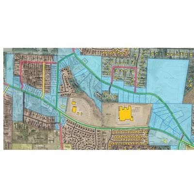
GeoMedia - Producer Suite
GeoMedia is offered within the Producer Suite of the Power Portfolio. Extract compelling intelligence from geospatial data and integrate it to present actionable information.

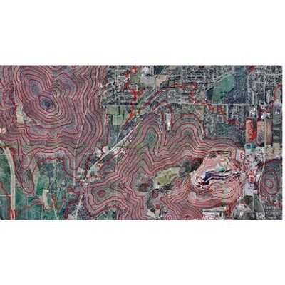
Erdas Imagine - Model 2020 - Geospatial Data Authoring Software
ERDAS IMAGINE is offered within the Producer Suite of the Power Portfolio.
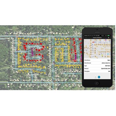
ImageStation - Model 2020 - Producer Suite
ImageStation is offered within the PRODUCER SUITE of the Power Portfolio. The Provider Suite allows you to easily store, discover, manage and deliver your data across desktop, web and mobile applications. It also alleviates pressures associated with expanding imagery data holdings through the optimization of disk space requirements.
GeoMedia WebMap - High-Performance Web Maps Software
Publish High-Performance Web Maps with One Click
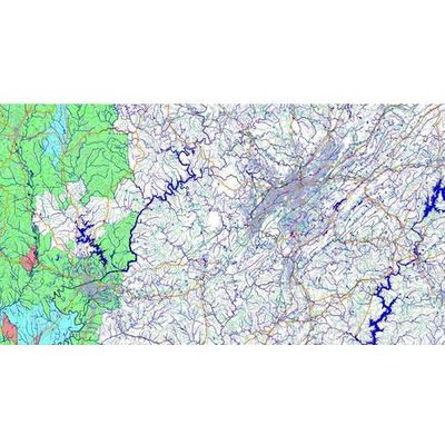
Geospatial - Model SDI - Platform Suite
Geospatial SDI is offered within the PLATFORM SUITE of the Power Portfolio.
ERDAS Apollo - Model 2020 - Enables Enterprise Data Management Software
Enables Enterprise Data Management, Discovery and Delivery. ERDAS APOLLO 2020 provides large-volume distributed data management and delivery, server-side geoprocessing and dynamic creation of information, and high-speed image and point cloud delivery and GIS integration.
GeoCompressor - High-Resolution Images or Point Clouds Software
Do you work in an industry where you use massive, high-resolution images or point clouds? GeoCompressor lets you compress massive imagery or point clouds into much smaller files that are visually lossless, meaning that you cannot tell they are compressed by looking at them.