

Integrated Geo Instruments & Services Private Limited software
Aplitop Solutions
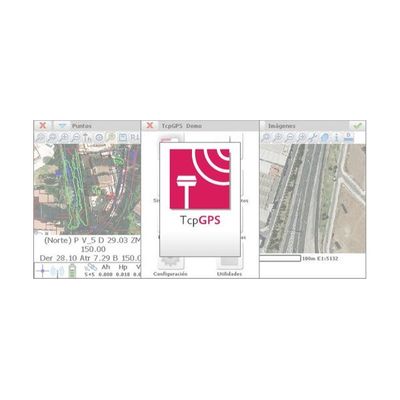
Aplitop - Tcp GPS Processing Software
This application for field work allows the user to perform surveys and set out using a wide range of GNSS receivers, integrated into the data collector or connected via Bluetooth. The program has multiple options for surveying and stake out plots, terrains and linear works. You can use ESRI or Apple base maps as well as orthoimages, cartography and web map services.
Model TcpET - Processing Software
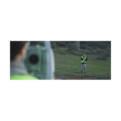
This field software, installed in the total station itself or in a data collector with Windows operating system, allows the user to survey and set out with a wide range of conventional, motorized or robotic stations, connected through serial cable or Bluetooth. The program has options for all kinds of surveys and stake out (roads, railways, power lines, pipes, etc.). Orthoimages, DXF files or web map services can be used as a base map. You can add to the project horizontal and vertical alignments, profiles, cross sections and superelevations. TcpET has options for staking out by station and displacement, station and code, slope control, and many more.