

Jakab és Társai Ltd. software
Watershed Models

Model WMS v.8.0 - Watershed Modeling System
Overview:The Watershed Modeling System (WMS) is a comprehensive graphical modeling environment for all phases of watershed hydrology and hydraulics. WMS includes powerful tools to automate modeling processes such as automated basin delineation, geometric parameter calculations, GIS overlay computations (CN, rainfall depth, roughness coefficients, etc.), cross-section extraction from terrain data, and many more! With the release of WMS 8, the software now supports hydrologic modeling with HEC-1 (HEC-HMS), TR-20, TR-55, Rational Method, NFF, MODRAT, OC Rational, and HSPF. Hydraulic models supported include HEC-RAS, SMPDBK, and CE QUAL W2. 2D integrated hydrology (including channel hydraulics and groundwater interaction) can now be modeled with GSSHA. All of this in a GIS-based data processing framework will make the task of watershed modeling and mapping easier than ever before.
Model MIKE SHE - Integrated Catchment Modeling Software
MIKE SHE delivers truly integrated modelling of groundwater, surface water, recharge and evapotranspiration — in short, all the aspects of hydrology that are important if your project requires an integrated model. No other tool or combination of tools can match MIKE SHE in terms of seamless integration of all the important processes of the hydrologic cycle at catchment scale.
Integrated Catchment Modeling Software
MIKE SHE delivers truly integrated modelling of groundwater, surface water, recharge and evapotranspiration — in short, all the aspects of hydrology that are important if your project requires an integrated model. No other tool or combination of tools can match MIKE SHE in terms of seamless integration of all the important processes of the hydrologic cycle at catchment scale.
Model v.4.4 - WinLoG
WinLoG can be used to quickly create, edit and print geotechnical, environmental, mining, water well, oil & gas, and transportation borehole logs. The graphical windows interface displays the log as it is changed and shows exactly how the log will look when it is printed. Borehole and well logs can be printed in black and white or color.Version 4 of WinLoG has proven to be very successful and has gained widespread use. Many existing customers have already upgraded and we would like to encourage WinLoG version 3 customers to upgrade. The geographical information system (GIS) feature added in version 4 displays a location map for the project showing the boreholes, cross-sections, and any surface features. This feature makes it easy to visualize your project and can be used to print a location map of the project. To edit a borehole all you need to do is click on it in the location map.
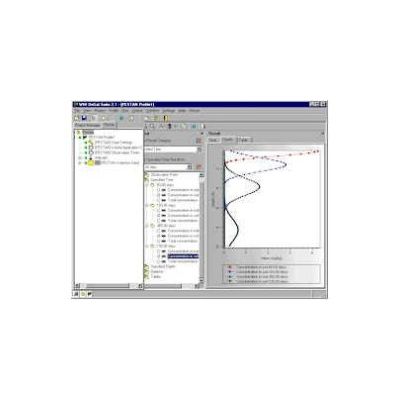
Model v.2.2 - UnSat Suite Plus
Product overview:Most groundwater contamination problems can be attributed to either surface spills or leaks from surface or near surface storage tanks and facility operations. As a result, the behaviour of the contaminants in the unsaturated zone plays a critical role in the potential impact these spills will have on the groundwater system. However, despite this fact, the vast majority of contamination studies still neglect the contributions and influence of the unsaturated zone. This is due to several reasons.
