

Kermap
2 software found
Kermap software
Environment Services
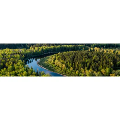
KERMAP produces, analyzes and interprets Earth observation data crucial to sustainable land management. These indicators help public and private players contain land take and preserve ecological continuity, healthy forests as well as ecosystemic services identification and inventory.

Urban Planning Services
We provide diagnosis and decision support tools for sustainable cities through land-use, vegetation and climate mapping. Our cartographic products are enhanced by geospatial analysis and predictive models for urban development professionals. The rely on satellite imagery and aerial photographs, processed through expert photo-interpretation and innovative, time and cost-effective AI techniques developed in-house by Kermap.