

L3 Harris Technologies, Inc. software
Geospatial Solutions
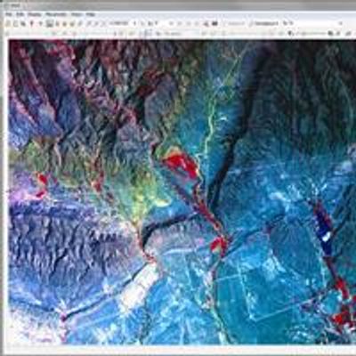
ENVI - Image Analysis Software
With our decades-long history of creating scientifically proven analytics, Harris developed ENVI, the image analysis software of choice for image scientists, image analysts, and GIS professionals to extract accurate and meaningful information from all kinds of data.
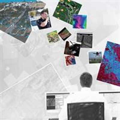
Jagwire - Web-Based Geospatial Data Management Software
Scalable and web-based, Jagwire software helps quickly discover data, transform it into information, and put it into the hands of the people that need it most – regardless of location.
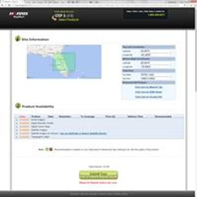
Harris - Geospatial Marketplace Software
The Harris Geospatial Marketplace is the definitive geospatial product and services online marketplace that gives you access to the world’s data.
Advanced Software Solutions to Analyze Virtually any Geospatial Data Type. Whether you need data, analysis tools, or a finished product, the Harris Geospatial Marketplace is your one-stop shop. Offering access to data from 28 of the world’s leading geospatial data providers,the Marketplace has geospatial information for more the 180 countries.