
Laser Technology Inc (LTI)
5 software found
Laser Technology Inc (LTI) software
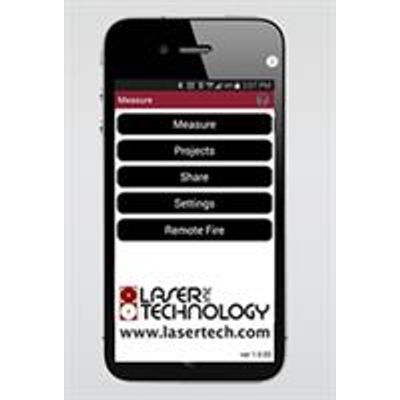
LaserSoft - Measure App
Need to capture and record measurements with pictures of each shot? Well, we have an app for that! Our LaserSoft Measure App makes taking field measurements as easy as 1-2-3, and it stores scope shot images and files them any way you want.
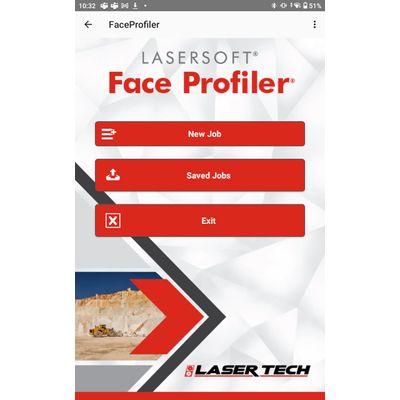
LaserSoft® Face Profiler - Blast Design App
The LaserSoft Face Profiler app calculates bench heights, minimum and optimum burdens, drill hole angles and offsets, hole depths and more. Pair with our TruPulse® laser rangefinders to accurately measure profiles and minimize the risk fly rock and vibration incidents. Capture and store laser measured profiles with the software for a simpler land blasting project.
LaserSoft® Conductor Clearance - Field Data Collection App
LaserSoft® Conductor Clearance mapping software for utility infrastructure and pole audit professionals is used for inspection of conductor and transmission wire clearance and heights. Leave your measuring wheels, height sticks or bulky, expensive total stations behind during your next inventory project. Just grab a TruPulse laser and the Conductor Clearance app and you’re ready to hit the field.
LaserSoft® MapSmart® - Field Data Collection App
The MapSmart smartphone software for Android™ and iPadOS collects reliable, professional field site mapping data, and calculates stockpile volumes. An intuitive interface harnesses the power of sophisticated mathematics and lidar technology for your mapping project. Choose to include GPS/GNSS position data in your survey to capture the origin and reference coordinates. Offset positioning measurements output in latitude, longitude and altitude. Add the software to your toolkit to simplify your next project in mining, pole audit, forestry, infrastructure, site inspection, inventory, and more. *iPadOS version currently offers full functionality with TruPulse 200x rangeifnders and MapStar TruAngle encoders only