
Princeton Geoscience, Inc.
5 services found
Princeton Geoscience, Inc. services

Borehole Geophysics
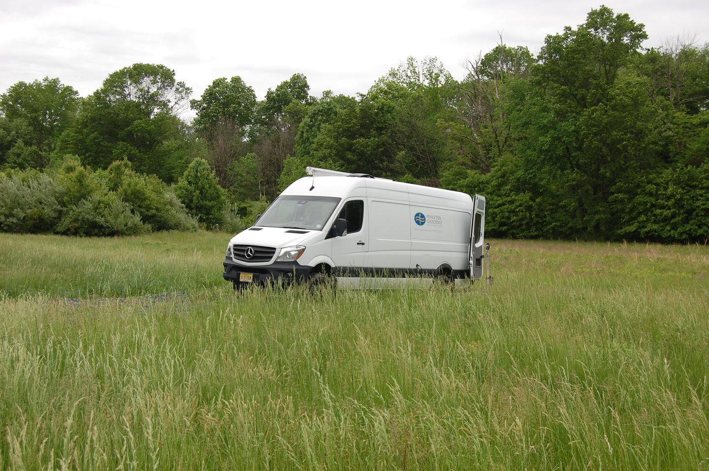
Princeton Geoscience employs experts in regional geology and hydrogeology, along with our own latest-generation equipment and WellCAD software, to provide a full suite of borehole geophysical logging and interpretative / correlation services. We offer a collaborative, solution-oriented approach tailored to providing an understanding of subsurface conditions important to decision-making at each individual project site. Additionally, we provide technical support for well design and conceptual site model development. Our fully outfitted logging van, an innovation in this type of field investigation, allows us to assess the subsurface in a wide variety of locations and conditions, facilitating investigations with real-time data viewing, 4-wheel drive, and comfortable collaboration space.
Geophysical Log Correlation
Geophysical Log Correlation support to aid our logging clients in getting maximum utility from the logging data we generate. In many settings, hydro-stratigraphic units occurrence follow geologic boundaries which may be readily ascertained via inter-well correlation of geophysical logs. An excellent example is the Leaky, Multi-unit Aquifer System (LMAS) that occurs within the dipping, sedimentary rocks of the Newark Basin. In this setting, correlations of Natural Gamma logs (which can be collected in open-hole, PVC-cased, or steel-cased well intervals) regularly provide a reliable first understanding of the potential geometry of the aquifer system.Monitoring Well Siting and Design
Monitoring Well Siting and Design support, working with our consulting clients to integrate their knowledge with geophysical logging- and any log correlation findings, to enable accurate, representative monitoring. Single-depth (traditional) or multi-level completions. In-field oversight services available to document construction and verify that important elements (e.g., grout materials, as mixed and as emplaced) meet stated regulatory requirements.
Mitigation of Vertical Cross-Flows
Temporary Mitigation of Vertical Cross-Flows in Boreholes via intelligent, geophysical logging-informed placement of lightweight, inexpensive packer system - allows working time needed to conduct multi-hole log correlation and design of monitoring wells that target common hydro-stratigraphic units.