

Storm Geomatics
1 software found
Storm Geomatics software
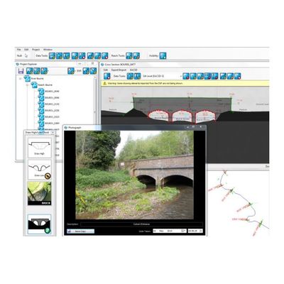
GeoRiver - Model v1.5.2 - Fast River Modeling Software
The GeoRiver software application has been designed for two types of user. The first is the river surveyor who captures vast amounts of position and height data within the river channel and flood plain. The second is the hydraulic engineer who uses the data to create a model of the watercourse to simulate its behaviour.