

SuperGeo Technologies software
SuperGIS Mobile
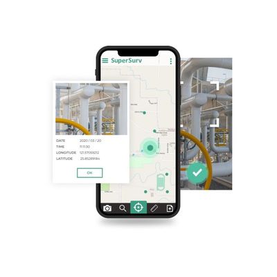
SuperGIS - Model SuperSurv 10 - Reliable GIS App for Mobile Devices
Download SuperSurv and experience it in 10-minute intervals at no cost. To get a trial code and fully experience the software at no cost within 7 days, please send us an email with your name, organization, and how do you know us.
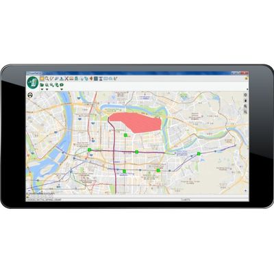
SuperGeo - Model SuperPad 10 - Windows and Windows Mobile OS Software
Capture and Edit Spatial Data in the Field, SuperPad provides an intuitive user interface that people can perform various GIS functions in the field effortlessly, including displaying vector & raster data, editing, and adding multiple records with related tables. SuperPad supports Windows and Windows Mobile OS. That is, both tablet computers and handheld PCs can install this powerful mobile GIS software.
SuperGIS Desktop
SuperGIS - Model Desktop 10 - Geographical Information System Software
SuperGIS Desktop 10 is the series of SuperGIS desktop geographical information system, it provides surface location with functions such as editing, storing, checking, integrating, processing, analyzing and displaying data. By using SuperGIS, you can conduct accurate and efficient analysis, management and research in various fields including market analysis, environmental monitoring, engineering development, urban planning and business management etc.
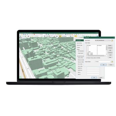
SuperGIS - 3D Analyst Software
SuperGIS 3D Analyst is an extension of SuperGIS Desktop. To experience how it could benefit you and your organization, please send us a request for free trial code of SuperGIS Desktop and activate it with the code.
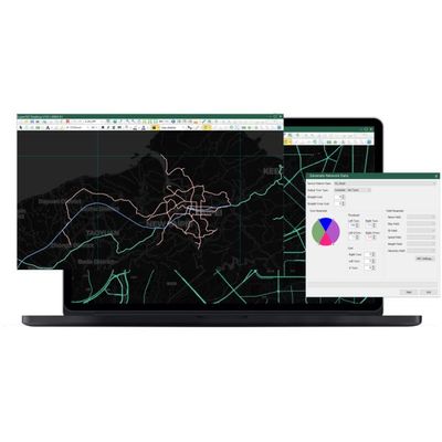
SuperGIS - Network Analyst Software
SuperGIS Network Analyst is an extension of SuperGIS Desktop. To experience how it could benefit you and your organization, please download the trial of SuperGIS Desktop and activate with the code we send to your inbox.
Other Software

SuperGIS Server - Enterprise-level Geographic Information System Software
SuperGIS Server is an enterprise-level geographic information system developed for different organizations to manage, integrate and share documents. By using this product, you will be able to publish large amounts of vector and grid spatial data on the internet, as well as publish various data processing procedures, such as buffer analysis and surface elevation profile etc, which allow you and your team to obtain more information and improve the quality of decision making. SuperGIS 3D Earth Surface is a server product recently launched by Supergeo, its powerful functions enable you to create a 3D network GIS environment, allowing people to have an operating experience closer to the real scene when browsing.