
TTI Production
- Home
- Companies
- TTI Production
- Services
2 services found
TTI Production services
Thematic Mapping Services
Geology
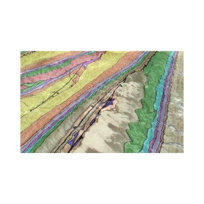
Image processing and digital mapping applied to surface geology: Regional analysis and basin scale studies. Detailed geology and prospect scale studies. Photo-facies and texture analysis for litho-stratigraphy. Faults & fractures analysis. Dips and cartographic thickness computing. Advanced GIS technics applied to geology (SIGEOL®).
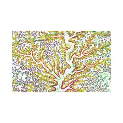
Geomorphology
TTI Production provides radar satellite images, from medium resolution (100 meters) to very high resolution (1 meter): ALOS PALSAR, ENVISAT, ERS, JERS, RADARSAT, TERRASAR-X.