
Vista Clara, Inc applications

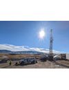
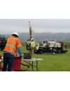
High-Resolution Downhole Measurement and Characterization of Aquifer Properties. Vista Clara’s advanced Javelin family of borehole NMR magnetic resonance logging tools provide direct, low-cost, high-resolution measurements of hydrogeological properties that users really care about, including: Volumetric water content, pore size distribution, bound and mobile porosity, hydraulic conductivity, transmissivity.
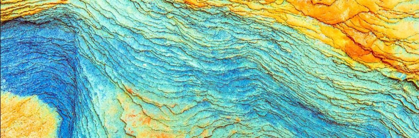
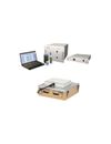
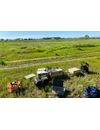
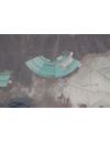
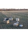
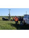
Direct, Non-invasive Detection and Imaging of Groundwater to Depths of up to 500 feet (150 Meters). Surface magnetic resonance (also known as surface NMR, proton magnetic resonance and magnetic resonance sounding) is a powerful ground-based geophysical method used to non-invasively detect, measure and image groundwater. Vista Clara’s GMR and GMR-Flex multi-channel surface NMR instruments work by using the same physics as medical MRI. Surface magnetic resonance measures hydrogen protons in groundwater to characterize aquifer properties, whereas medical MRI measures hydrogen in biological tissues to diagnose injury or disease.
Man-portable NMR Geophysical Instruments for Soil, Sediment and Core Measurements. Vista Clara’s family of man-portable NMR tools enable direct measurement of volumetric water content and high-resolution pore-scale analysis of soils, sediments and core samples. These tools are all man-portable and designed for use in the field.
Directly measure water content and characterize aquifer properties using NMR. Our tools operate non-invasively from the surface or downhole in pilot borings.
Measure the most important hydrogeologic properties governing contaminant storage and transport.
Measure porosity and estimate permeability in saturated materials without the risk inherent in radioactive sources or the data gaps and expense of packer testing. Improve site investigation and clarify risk.
NMR provides direct measurement of key hydrogeologic properties needed to characterize reserves and optimize production.

Identify productive zones at high resolution and predict yield in pilot borings to determine optimal screen placement and inform well design.
Obtain accurate and high-resolution quantification of water content and hydrogeologic properties for use in groundwater models.
Determine site suitability, observe seasonal changes, and monitor surface water infiltration.