Aerimis—remote monitoring by Nupoint systems Inc. Nupoint Systems Inc
- Home
- Companies
- Aerimis—remote monitoring by Nupoint ...
- Products
- Aerimis - Model LS - Aerimis Remote ...
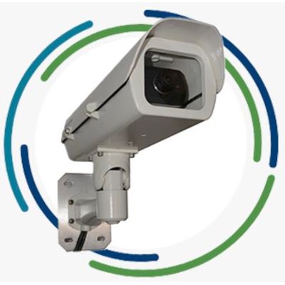
Aerimis - Model LS -Aerimis Remote Monitoring Camera System
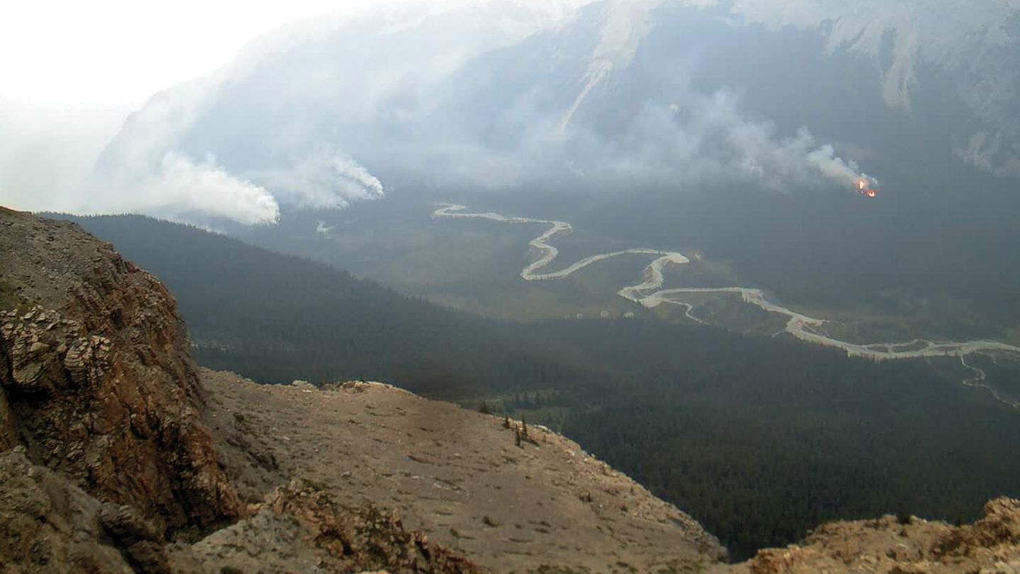
Aerimis remote environmental monitoring systems will keep you in the picture anywhere in the world. True global coverage for monitoring the effects of climate change using the Iridium satellite network. Designed to reliably monitor remote locations in extreme and inhospitable environments, Aerimis camera systems provide valuable images from virtually anywhere on earth1. Aerimis cameras are turnkey systems and can be deployed for months or years unattended in the harshest environments, and provide a vital connection by delivering up-to-date photos of your remote location.Most popular related searches
remote monitoring
remote environmental monitoring system
remote monitoring system
remote camera system
remote environmental monitoring
environmental monitoring system
weather station
environmental monitoring
environmental sensor
climate change
- Ruggedized Aerimis camera systems transmit valuable images from remote locations anywhere in the world1
- Available for Iridium satellite network (Aerimis LS) managed through one reliable client portal
- Affordable fixed-cost image pricing plans provide cost certainty
- Systems withstand harsh weather conditions (-40°F to +122°F, -40°C to +50°C) and can operate for months or years at a time unattended
- Power efficient for solar power operation
- Easy to set up on location and manage remotely—omni-directional antenna (no need to point antenna)
- Serial port for additional sensors (e.g., weather station)
- Customize to meet the conditions of your remote location
- Reduce travel costs by eliminating unnecessary travel and wasted trips
- NEW Arctic Aerimis version with extra heater can withstand extreme cold temperatures (-70.6°F to +122°F, -57°C to +50°C)
Aerimis system management client portal
- Manage all your Nupoint camera systems—Iridium, Globalstar, or cellular—using one system management portal
- Consistent commands and user experience for all networks
- Easy to set up systems, configure image capture frequency, set permissions for all users, track battery consumption, view and download images, track system history, view GPS triggered map of system locations, and more
- Transmit and manage quality images tagged with metadata (timestamp, GPS location, outside temperature, battery voltage level)
- Customize meta data to include data from other environmental sensors (e.g., weather station)
- Easy access to images via online system management portal, unique url, or email
Aerimis coverage
Aerimis remote monitoring cameras are available to operate on the Iridium statellite network for coverage anywhere in the wrold1.
Aerimis technical specifications
Aerimis system builder
Let us help design a camera system for your unique needs.
1Models available for Iridium satellite network (global coverage except where prohibited by law or local regulation).