

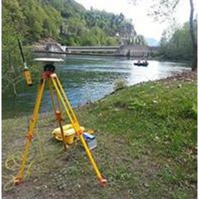
Bathymetry - Sonar System
A classic sonar emits an acoustic signal towards the bottom of the water body and analyzes its echo. Knowing the propagation velocity of the acoustic waves in water and the time between emission and detection of the signal, it is possible to calculate the distance between the sonar system and the floor.
The multibeam bathymetric technique uses many receivers simultaneously to cover a large area of the water bottom, allowing a continuous data acquisition.
Bathymetric measurements are frequently used for pipeline placement studies, sedimentation monitoring or hydroelectric plant management.
A multi-beam sounder is perfectly suited to survey and inspect lake, river and sea bottoms. It is capable of reaching an excellent resolution (10 points/m2) an a very good accuracy (3-5cm). It can operate in water depth starting at 1 meter depth.
- Placement of cables and conduits
- Surveillance of sedimentation in reservoirs
- River profiles and hydraulic calculations
- Management of subaquatic quarries and dragages
- Inspection of underwater constructions
- High precision bathymetry
- Advanced filtering
- Volume calculations (water, sediments)
- Sedimentation monitoring
- 2D/3D visualisation