

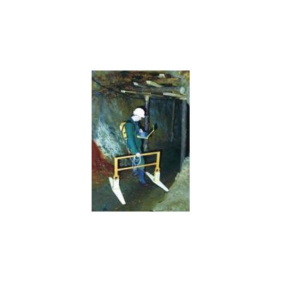
Detection Of Abandoned Mineworkings
In many regions, mining activity has left a legacy of bell pits, shafts, adits, or subsidence which have a significant influence on present day developments. The majority of mining activity is well documented, but in some cases the accuracy of this information can be questionable.
Ageophysics survey coupled with a selective intrusive investigation can provide a rapid and cost- effective means for locating shallow abandoned mine-workings.
Historical mine-workings can prove to be difficult targets due to the lack of background information on the actual mining activity and the limitations posed by the present day site conditions (e.g., fill thickness, buildings, roads etc). For most sites, TerraDat usually adopt an integrated survey approach comprising a number of different geophysical techniques, which target both direct (e.g. shaft lining/cap, void space) and in-direct attributes (e.g.localised variations in drainage patterns or anomalous backfill material).
A resistivity survey was carried out to confirm the location of an abandoned bell pit. The results suggest that the bell pit extends to a depth of 4m bgl and has been backfilled with clay-rich material.
Selection of geophysical target features associated with abandoned mine workingsA combined magnetic and conductivity survey was carried out over an abandoned colliery site in South Wales. A large shaft containing scrap metal is clearly evident in the centre of the site. In addition, four air shafts above an adit have been located using magnetic gradient mapping.
A microgravity survey was carried out to confirm the position of an abandoned mine shaft and to provide information on the degree of backfill. By carrying out a gravity modelling routine, it was shown that the shaft was backfilled to an approximate depth of 6.0m bgl.