Browse all
Channels
Products
Companies
Products
Services
Software
Training
Applications
Sign in
List your business
Advertising options
Lidar America Inc.
About
Solutions
Publications
Home
Digital Elevation Model
From
Lidar America Inc.
SHARE
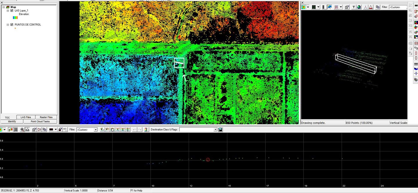
The Digital Elevation Model obtains the z coordinates of value in conjunction with the x and y. The elevation values are specifically distinguised as; roads, buildings, bridges, vegetation, water, etc.
Most popular related searches
building water