

eNode - Land Seismic System
The eNode land seismic solution revolutionizes acquisition economics by reducing field logistical effort: It enables scalable, fit-for-purpose survey geometries in all terrains while lowering capex, opex, and HSE impact. Current acquisition geometries can be deployed at substantially lower cost and in less time, or receiver grid density can be increased more economically than by using alternative receiver technologies.
- Small or large areas can be scaled up to unlimited receiver counts
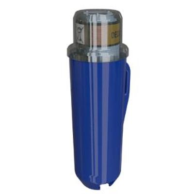
- Lightweight design eases node handling and deployment
- Compact, scalable, high-capacity harvesting and charging system operates efficiently in remote locations
- Solution provides fit-for-purpose QC and data management capabilities
When acquiring land seismic data, line clearance for both sources and receivers is a major concern, especially in environments with difficult terrain—including hilly or mountainous regions, forests, areas of dense vegetation, and snow or permafrost-covered land. The process of obtaining the necessary environmental permits to acquire that data under such conditions can be cost prohibitive and time consuming.
By deploying the lightweight and cableless eNode solution node, you can reduce line clearance, personnel, vehicles, and source usage to minimize your overall survey footprint. This reduces HSE exposure—both logistically and economically—compared with conventional cable-telemetry systems and eases the permitting process.