Browse all
Channels
Products
Companies
Products
Services
Software
Training
Applications
Sign in
List your business
Advertising options
Agreena
About
Solutions
Home
Companies
Agreena
Products
Land Use
Land Use
From
Agreena
SHARE
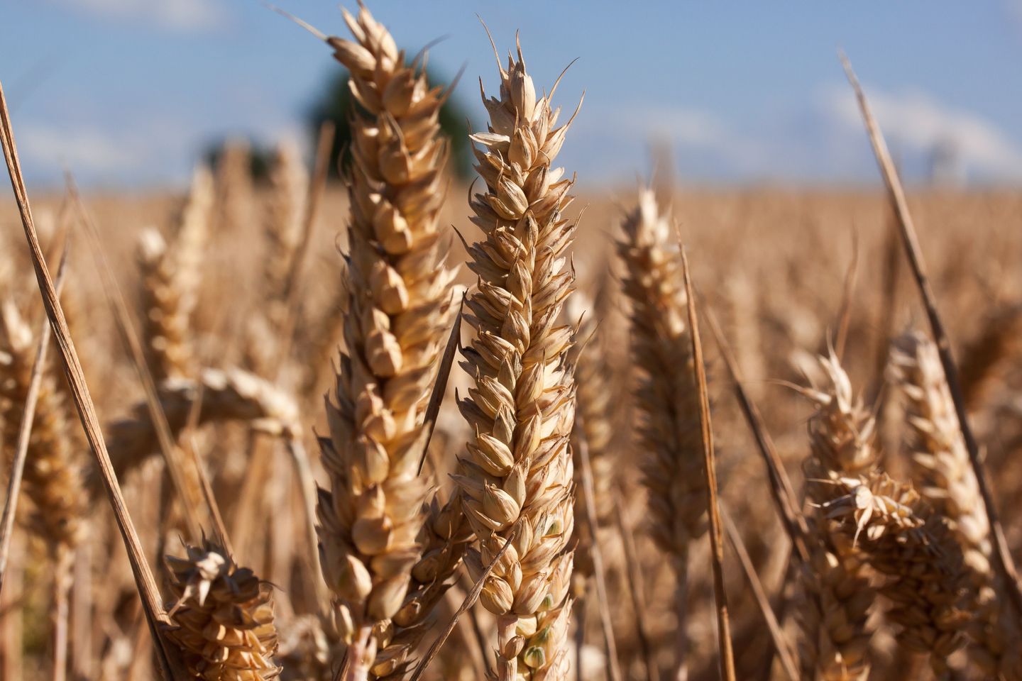
Classifying land use using satellite imagery to verify conservation and habitat projects
Most popular related searches
land use
satellite image
habitat conservation