

- Home
- Companies
- Leica Geosystems AG - a Hexagon company
- Products
- Leica - Model ALS - Corridor Mapper
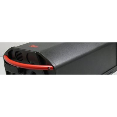
Leica - Model ALS -Corridor Mapper
The Leica ALS Corridor Mapper is targeted to both lower-altitude and corridor mapping markets. The Leica ALS Corridor Mapper builds on the legacy of productivity, accuracy and flexibility that have made Leica Geosystems ALS-series instruments the fastest-selling airborne LIDAR systems in the industry. Continued technical advancements resulted in a new generation of LIDAR systems, the Leica ALS70 series that are more productive than ever before. The Leica ALS60 is no longer in production, and has been replaced by the Leica ALS70.
Upgrade packages are available to convert ALS60 systems (including ALS60-series Corridor Mapper) to any model in the ALS70 series, including ALS70-CM, ALS70-HP and ALS70-HA. Conversion to these newer configurations brings the user`s system up to the latest technical configuration, and can result in more than doubling of system productivity as well as increased sensitivity to small and/or low-reflectivity targets. In addition to increased performance, long-term supportability is enhanced by bringing the system to the latest production state.
NOTE:
The ALS60 Product Line (including ALS60-series Corridor Mapper) has been replaced by the new ALS70 family of airborne LIDAR systems. However, previously-owned ALS60 and/or ALS Corridor Mapper systems occasionally come into inventory. Contact your regional Sales Representative for availability.
This airborne LIDAR system offers high point density and high accuracy, independent of pulse rate... from a helicopter-compatible 200 m AGL all the way to a robust 1000 m AGL ceiling, all without sacrificing detection of small or low-reflectivity features. Now with higher maximum pulse rate, the system can employ Leica Geosystems proven MPiA option.
The variable field of view allows maximum flexibility in obtaining terrain details, whether out in the open or over urban canyons. And flexible auxiliary sensor ports allow seamless connection to imaging sensors. The ALS Corridor Mapper provides a cost-effective solution, offering the high accuracy that users expect for both large-scale and corridor mapping.
Moreover, the ALS Corridor Mapper can accompany you on your way into the future. The system is fully upgradable to the ALS 60 configuration.
Affordable Leica ALS performance for corridor mapping LIDAR applications.
Performance Indicators:
- Flexibility – peak performance over the entire operating envelope
- Productivity – true 200 kHz performance without sacrificing accuracy
- Efficiency – fast point-cloud processing with quick-look capability and annotated digital images
- Affordable – Leica performance at low-altitude prices
- Upgradable – to full ALS60 configuration