
- Home
- Companies
- Qingdao Leice Transient Technology Co., ...
- Products
- Leice - Model Wind3D 10K - 3D Scanning ...
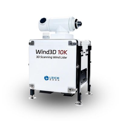
Leice - Model Wind3D 10K -3D Scanning Wind Lidar
Wind3D 10K 3D Scanning Wind Lidar is based on the optical pulse coherence Doppler frequency shift detection principle, enabling fine detection of the three-dimensional wind field in the troposphere. Equipped with a high-pointing accuracy optical scanning mirror, it can realize three-dimensional scanning detection functions (DBS/VAD/PPI/RHI/CAPPI fixed-point scanning modes), with a detection radius of up to 12 km in the basic version.
Leice specially developed lidar three-dimensional scanning, aircraft downhill scanning, wind profile scanning, multi-lidar network scanning and other detection modes. It not only accurately detects low-altitude wind shear, achieving rapid identification and effective early warning to ensure aviation safety, but also efficiently detects aircraft wake vortices, optimizes flight intervals, and improves operational efficiency. We are committed to providing users with comprehensive, professional, and customized solutions and services.
- High accuracy
- High range detection
- Multiple scanning modes
- High resolution
- Flexible deployment
- Unmanned operation
- Strong robustness
- Eye-safe
- Laser Wavelength: 1550nm
- Maximum Detection Distance: 12000m
- Spatial Resolution: 15m/30m/60m/150m(configurable)
- Time Resolution: 1s~10min(configurable)
- Wind Speed Measurement Accuracy: ≤0.1m/s
- Wind Direction Measurement Accuracy : ≤3°
- Scanning Modes: Fixed Point/DBS/VAD/PPI/RHI/CAPPI Script Programming
- Weight: <125kg
Radial wind speed, spectral width, spectral intensity, carrier-to-noise ratio, horizontal wind speed, horizontal wind direction, vertical airflow, wind shear, aircraft descent path wind shear and wake detection and early warning, aerosol backscattering intensity, extinction coefficient, boundary layer height, cloud base height, 3D flow field analysis, GNSS location and time, lidar status data, ground atmospheric temperature, humidity, and atmospheric pressure data.
- Airport Atmospheric Visibility Monitoring
- Low Altitude Wind Shear Monitoring and Early Warning
- Aircraft Wake Vortex Detection
- Air Quality Improvement and Management in Key Regions
- Fine Traceability of Atmospheric Particulate Matter Pollution
- Analysis of Atmospheric Pollution Causes
- Early Fire Warning
- Meteorological Support for Fire Emergency Rescue
- Structural Wind Engineering Observation and Construction Support
- Wind Measurement Network in Complex Terrain
- Integrated Meteorological Observation and Service Platform
- Refined Meteorological Observation and Forecasting
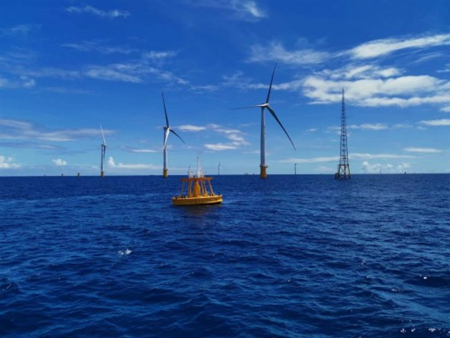
- Precise Inversion of Wind Turbine Wake Flow Field and Wind Farm Layout Optimization
- Wind Power Prediction