

LIM SAS
LIM - Model NaviLIM -HP GNSS Drill Navigation
FromLIM SAS
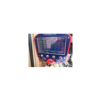
HP GNSS drill navigation NaviLIM helps the operator to position the drilling tool with a very high precision on the intended location of the borehole whether it is vertical or inclined. NaviLIM uses the high precision (RTK) GNSS technology. It works with GPS and GLONASS Satellite constellations.