

Optech Galaxy - Airborne Lidar Systems
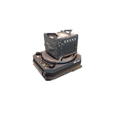
Galaxy is the next generation of airborne solutions, packing more power and accuracy into a tiny footprint than any other sensor. Designed for everything from wide-area mapping to corridor surveys, Galaxy is truly a universal sensor that rivals larger systems with its ultra-dense data and industry-leading measurement precision and accuracy. Galaxy’s new PulseTRAK™ and SwathTRAK™ technologies (patents pending) make surveying simpler than ever before by providing unique innovative feature sets that maximize productivity, increase information content and reduce overhead costs. Whether installed in a tactical UAV, integrated in a helicopter pod for powerline surveying, or gyro-stabilized with an orthometric camera for wide-area mapping, Galaxy’s performance and capability is out of this world.
- PulseTRAK technology replaces conventional multi-pulse technologies for high PRFs at high altitude
- SwathTRAK technology moves collection efficiency to a whole new level by dynamically modifying the scan field of view during collection to maintain fixed swath widths and even point distribution, even in variable terrain
- 2 MHz effective PRF provides on-the-ground point density and efficiency formerly reserved for dual-beam sensors
- Industry-leading data precision and accuracy for the highest-quality datasets possible
- Up to 8 returns per pulse provide increased vertical resolution of complex targets without the need for full waveform recording and processing (waveform recorder optionally available)
- Fully programmable scanner enables dramatic point density increases at lesser FOVs
- Industry-leading discrete timing electronics for pulse pair separation (i.e. minimum target separation distance) of less than 0.7 m (or less with optional waveform recorder)
- Wide dynamic range enables exceptional small-target detection capability and capture of even the smallest details
- In-air lidar point cloud display for maximum collection confidence
- Real-time XYZI point clouds in LAS format enable immediate data deliverables
- Low power requirements and compact form factor provide maximum platform flexibility
- Tight integration with PhaseOne medium-format aerial camera systems provides excellent application flexibility and scalable solutions, and additional data deliverables
- Production-focused workflow software with automated calibration and boresight capability using rigorous least squares methods and robust bundle block adjustment for both lidar and camera within a single workflow, enabling truly coincident datasets and quantified accuracies
- Wide-area mapping
- Powerline and transportation corridor
- Natural Resource management
- Engineering and infrastructure modeling
- Urban Mapping
- Defense & Security
- Integrated multi-camera systems
- Full waveform recorder
- Multi-sensor fixed mounts
- Helipods
- Gyro-stabilized survey kits