

- Home
- Companies
- Sigma Space Corporation, a part of ...
- Products
- Sigma - Single Photon Lidar (SPL)
Sigma - Single Photon Lidar (SPL)
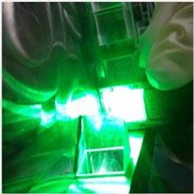
Single Photon LiDAR provides the most efficient approach to rapid, high-resolution 3D mapping. SPL requires only one detected photon per ranging measurement, as opposed to hundreds or thousands of detected photons per ranging measurement for conventional or Geiger Mode airborne LiDARs. The higher efficiency of the SPL offers more 3D mapping capability in terms of swath, spatial resolution, acquisition time and density of range returns. Sigma`s ability to rapidly deliver 3D data over thousands of square kilometers is changing the way we observe and analyze Earth.
Single photon sensitive 3D imaging LiDARs have multiple advantages relative to conventional multi-photon LiDARs. Their high efficiency enables orders of magnitude more imaging capability for a given laser power-receive aperture product. In our Single Photon LiDARs (SPLs), single photon sensitivity is combined with timing receivers having nanosecond recovery times and a multistop timing capability per pixel. These characteristics enable our LiDARs to operate under conditions of full solar illumination and to penetrate semiporous obscurations such as vegetation, ground fog, thin clouds, etc. Also, the use of green (532 nanometer) laser proves to offer additional capability for water penetration (bathymetry) as the SPL is able to routinely measure the surface of the water as well as the topography below the water.
SPL Applications
With the rising trend of LiDAR usage for commercial applications, Sigma Space’s SPL systems will allow decision makers access to high resolution 3D data easily and more frequently.
Sigma Space`s SPL systems provide high resolution 3D data used by decision makers across industries. SPL cost efficiency and speed provides affordable and timely information in a wide-area scale previously unavailable. For the first time, evaluation of 3D change in a dynamic manner is possible with survey grade accuracy, high spatial resolution and State-wide area scale. Sigma Space`s vertically integrated data acquisition-to-final product enterprise is currently providing 3D terrain and infrastructure data products to government and commercial customers. Sigma Space has capabilities in instrument design and fabrication, operation and data delivery. Our ability to service one or all capabilities allows us to provide the most cost efficient and flexible solution to our customers.
SPL Solutions
Sigma Space`s SPL systems provide high resolution 3D data used by decision makers across industries. SPL cost efficiency and speed provides affordable and timely information in a wide-area scale previously unavailable. For the first time, evaluation of 3D change in a dynamic manner is possible with survey grade accuracy, high spatial resolution and State-wide area scale. Sigma Space`s vertically integrated data acquisition-to-final product enterprise is currently providing 3D terrain and infrastructure data products to government and commercial customers. Sigma Space has capabilities in instrument design and fabrication, operation and data delivery. Our ability to service one or all capabilities allows us to provide the most cost efficient and flexible solution to our customers.
In 2007, Sigma made a commitment to developing the next generation of topographic mapping systems. Through innovative design and relentless focus on success, Sigma has delivered seven SPL instruments in seven years, each providing more capability or better performance.
Our development efforts are never ending and our staff - 75% of which are Ph.D’s and engineers - are committed to continually delivering new and innovative products.