

FLORADATA
Biodiversity Geographical Information Sistems
FromFLORADATA
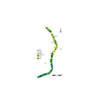
Floradata executes Geographical Information Systems (GIS) based in biodiversity values making it easier the analysis and management of the spacial data related with the identified natural resources. The strong visual component of these tools allows more efficient decisions. This type of information is very useful for EIA, EcIA, SEA and other related studies.
Most popular related searches
Floradata proposes the following services related with geographical information systems:
- GIS in flora
- GIS in Vegetation
- GIS in Natural Habitats
- GIS in Endangered, Rare and Protected Species