

Customized Land Use/Land Cover Services
Map the current state of an area using up-to-date satellite imagery. Define your own land use or land cover classes (LULC) and gain useful geographical insights.
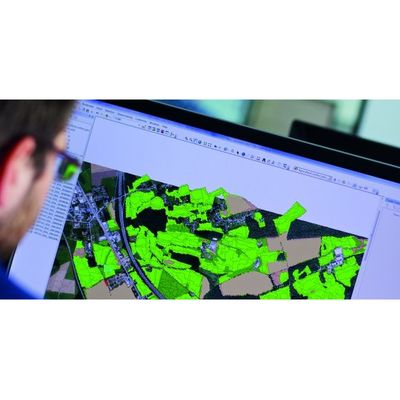
Choose your own data layers
We don`t need to tell you that there are a lot of general classification schemes for categorizing areas using satellite imagery. Besides the usual set of land use and land surface types, GIM can extract and analyze your chosen LULC classes. We do that based on the latest data or for a specific period of time, to a level of detail that meets your needs and requirements.
Smart maps mean better decisions
Detailed, customized up-to-date data layers can provide relevant geographical insights to enhance your organization and help you make better decisions. A few of the possible applications are outlined below.
- Studying the potential of a site: each site might be used for specific purposes depending on specific landscape features. GIM can map these for you. Take, for example, the effect of topography and land use on wind flows: essential information for designing a wind farm.
- Marketing analyses: use satellite imagery to segment your prospective and existing customers or other stakeholders. GIM can help you to identify specific residential areas based on geographical characteristics relevant to your product or brand.
- Finding sites for tropical plantations: map the most interesting sites for planting certain species of trees based on your chosen parameters: from slope classes to vegetation characteristics and soil conditions.
- Route planning: determine the ideal route for pipelines or high-voltage power lines by extracting specific elements from satellite images such as natural barriers (e.g. boggy ground) or man-made obstacles (such as nearby residential areas).