
Earth Scan Technologies Ltd.
- Home
- Companies
- Earth Scan Technologies Ltd.
- Services
- Earth Scan - Drone Magnetomoter Survey ...

Earth Scan - Drone Magnetomoter Survey Services
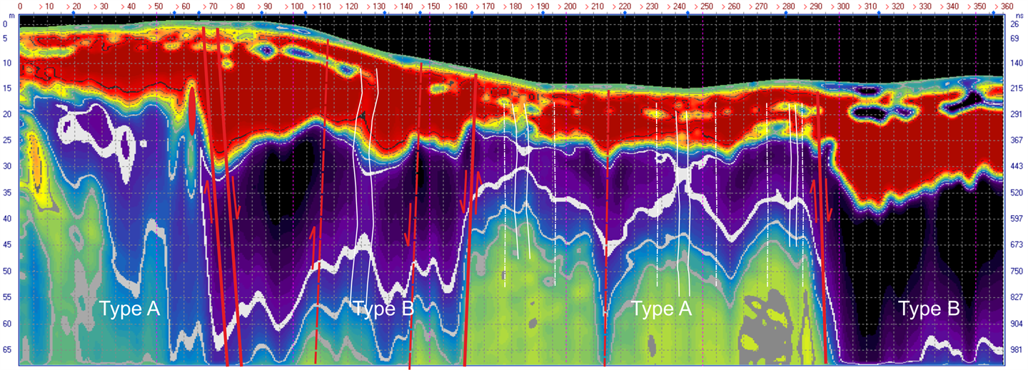
Magnetometer surveys are an extremely high resolution method to identify anomalies in the surface and subsurface. With no ground work required drone magnetometer surveys are extremely low impact and efficient. Very lightweight and ideal for UAV operations. Covering a vast amount of area in virtually any terrain profile, UAV magnetometer surveys also offer low altitude flying which permits very tight line spacing and high resolution data acquisition to identify very discrete targets. Immediate generation of magnetic map. Multiple sensors flown under one aircraft give multiple comparative data sets.
Most popular related searches
magnetometer survey
mineral identification
magnetometer technology
geophysics system
magnetometer
environmental assessment
mining exploration
magnetic sensor
contaminant identification
environmental exploration
- Our Magnetometers can be mounted on both copter and fixed wing UAV platforms for extreme terrain, high resolution surveys as well as fixed wing and helicopters for large regional surveys.
- This greatly decreases the operational cost compared to manned magnetometer surveys.
- Earth Scan has access to the most sensitive magnetometer technologies available including the Geometrics MFAM as well as the QuSpin.
- Magnetometer surveys are an extremely high resolution method to identify anomalies in the surface and subsurface.
- With no ground work required, drone magnetometer surveys are extremely low impact and efficient.
- Very lightweight and ideal for UAV operations. Covering a vast amount of area in virtually any terrain profile, UAV magnetometer surveys also offer low altitude flying which permits very tight line spacing and high resolution data acquisition to identify very discrete targets.
- Immediate generation of magnetic map.
- Multiple sensors flown under one aircraft give multiple comparative data sets.
- Contaminant plum identification and tracking
- Mineral identification
- Buried infrastructure identification ie. pipelines, well-heads, landfills, graveyards.
- UXO discovery
- Environmental assessment
- Archeological exploration
- Mine planning and exploration
- Pipeline delineation