Earth Scan Technologies Ltd.
- Home
- Companies
- Earth Scan Technologies Ltd.
- Services
- Earth Scan - Deep Ground Penetrating ...
Earth Scan - Deep Ground Penetrating Radar Service
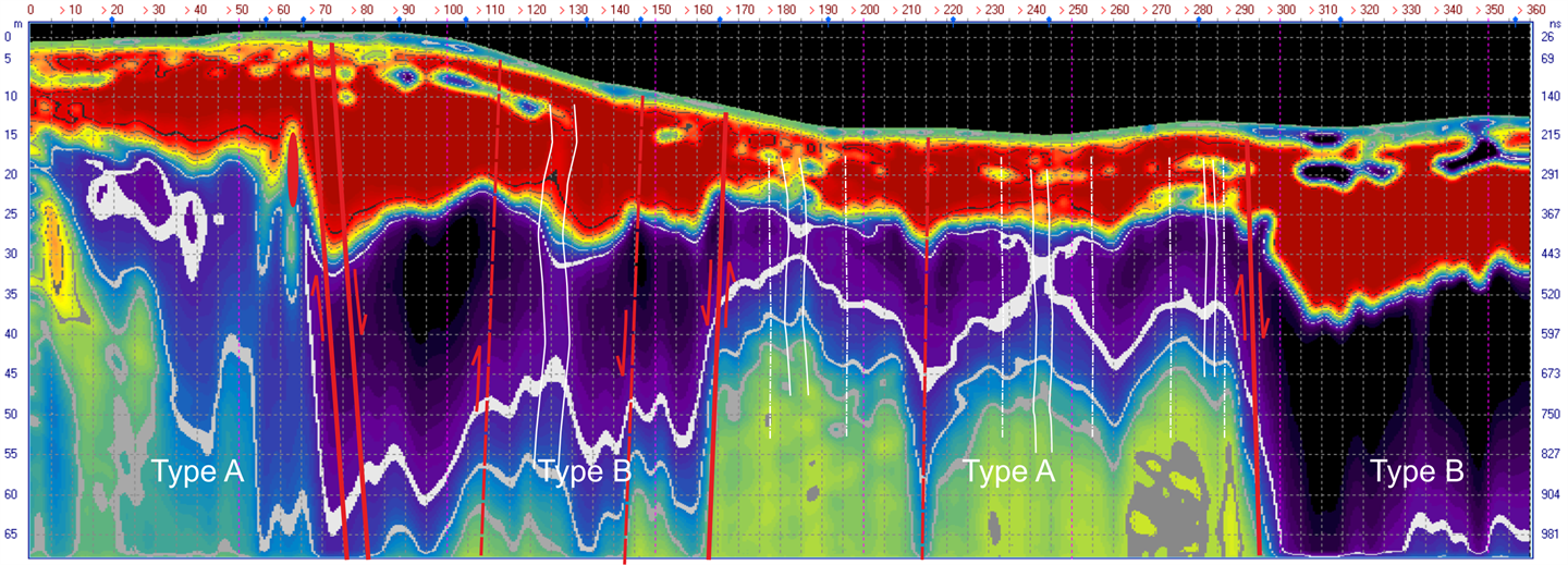
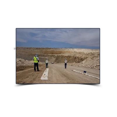
LOZA is unlike any other GPR technology and offers unique, high-resolution imaging of the subsurface. Exceptional depth penetration of over 200 meters! Excellent resolution of mineralization, fractures, faults, karst, tunnels, leaks in dams and tailings ponds. Excellent for defining high quality mineralization with demonstrated success on mining projects globally. Efficient data collection with several kms a day possible. Ground based deployment in walkable terrains.
Most popular related searches
ground penetrating radar service
sub-bottom profiler
ground penetrating radar
tailings pond
mineral identification
magnetometer survey
ground penetrating radar technology
bottom profiler
geophysics system
integrity monitoring
LOZA is very complimentary to Earth Scan drone magnetometer surveys where magnetic anomalies can be investigated to determine optimum drilling locations.
- Oil sands stratigraphy mapping
- Mineralization identification
- Searching for karst cavities and tunnels
- Tailings-pond and dam integrity inspection
- Exploring for water
- Bathymetry and sub-bottom profiling
- Bedrock integrity