

- Home
- Companies
- SWCA Environmental Consultants
- Services
- Geographic Information Services
Geographic Information Services
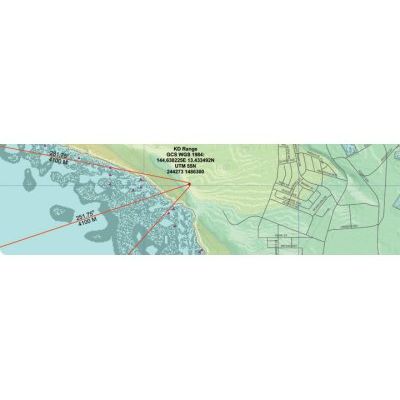
With an experienced staff of geospatial technology professionals, SWCA offers a full spectrum of geographic information services, including geospatial data creation, integration, analysis, visual simulation, and application development. Our use of industry-standard GIS, computer-aided design (CAD), GPS, and remote sensing applications supports seamless integration of geospatial-based technology with planning, management, and decision needs. In addition to in-the-field mapping, we use the growing technology of web-based virtual mapping tools such as Google Earth™ to provide real-time data that can be viewed in a dynamic, 3-D environment. You no longer have to guess or imagine how their finished project sites will look. With spatial modeling tools that simulate real-world conditions, SWCA can accurately ‘predict’ the visual aspect of project outcomes.
- Data management and integration
- GIS database development
- Web site development
- GPS field data collection and post-processing
- Remote sensing and image processing
- Real-time, web-based map, 3D virtual globe, and database delivery
- Visual resource management
- Land use planning
- Site suitability analysis
- Land cover and vegetation data collection and classification
- Habitat mapping and suitability modeling
- Wildfire hazard data collection, analysis, and modeling
- Wind farm planning and siting
- Statistical analysis and modeling
- Comprehensive research planning
- Environmental sampling and complex analysis
- ESRI ArcGIS, ArcGIS Server, ArcPad, and ArcPad Application Developer Builder
- ERDAS IMAGINE
- AutoDesk AutoCAD
- GPS Pathfinder Office
- Trimble Mapping GPS Receivers and Total Station
- PostGIS and PostgreSQL Databases
- GoogleEarth
- CrystalReports