

- Home
- Companies
- Nicholas Pearson Associates
- Services
- Geographical Information Systems ...
Geographical Information Systems Services
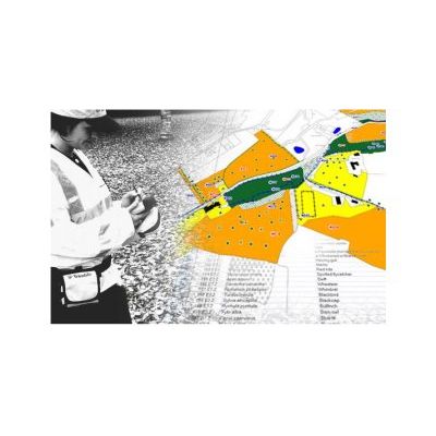
A Geographical Information System (GIS) is a system that captures, stores, analyses, manages, reports and presents data that are linked to location. GIS is used at all stages of our projects as it enables us to take data from a variety of sources and help to establish the environmental features at a location and the surrounding area. This data can then provide a baseline of information that can be used throughout the entire life of the project. We use our expertise in Ecology, Landscape Architecture and Environmental Planning to inform our GIS work. We can offer a specialist GIS service tailored to environmental consultancy. We can also provide GIS support in many application areas.
The majority of the time data needs to be analysed before you can see patterns in it and get the full value from it. This often means combining multiple datasets together.
Spatial and statistical analysis – we can analyse data for statistical or spatial patterns within it. These can then be used to get a better understanding of the data and any patterns that may exist.
Multi Criteria Evaluation (MCE) – We can help to evaluate sites where the environmental constraints are either high or low by combining data from different sources. We can then evaluate the results to see if each site meets the criteria of suitability. This can help with site selection.
Spatial Decision Support Systems (sDSS) – We can help to design systems to help with the decision making process. The sDSS contains data and a computer model to help users make decisions more easily.