

Pan India Consultants Pvt. Ltd.
- Home
- Companies
- Pan India Consultants Pvt. Ltd.
- Services
- Pan-India - Geoinformatics Service
Pan-India - Geoinformatics Service
Pan India offers world class services in Thematic mapping, Topographical mapping, surveying and spatial data analysis using the `state-of-the-art` technology of Remote Sensing, Photogrammetry, GPS, LIDAR and Geographical Information System (GIS).
Most popular related searches
geographic information system
utility infrastructure mapping
remote sensing service
digital terrain modeling
geographic information
remote sensing
land surveying
urban mapping
GIS service
satellite image
Globally, Geoinformatics has evolved as a revolutionary tool to support decision making in Governance, Urbanization, Transportation, Communication, Natural Resource, Agriculture, Environmental and many more.......
Natural Resource Mapping & Management
- Soil
- Slope / Aspect
- Geomorphology
- Landuse / Landcover
- Geology / Mineral
- Wasteland Mapping
- Hydrology (Ground Water)
- Sodic Land Mapping
Land Record Management
- Computerization of Land Records
- Digitization of Old Land Records
- Updation using Conventional Survey, Photogrammetry and high resolution Satellite images
- Land Information System Development/Customization
- Data dissemination - Internet/Intranet village kiosks
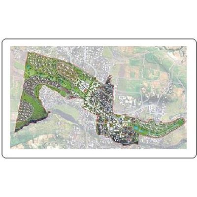
Urban Planning & Management
- Large Scale Urban Mapping
- Urban Sprawl Analysis
- Site selection for various utilities
- Infrastructural Mapping & Management
- Facility Management
- Environment Impact Assessment & Analysis
Digital Terrain Modelling
- Hazard Modelling ( Landscape, Flash Flood, Snow Avalanche and Flood etc. )
- Alignment ( Highway, Canal, Tunnel etc. )
- Mining Excavation
- Land Evaluation
- 3D Visual Analysis
- Terrain Analysis (Volume calculation, Line of sight, Slope etc)
Geographical Information System (GIS)
- Development of Decision Support System
- Customization of System
- Integration of various database
- Analysis : Proximity, Buffering, Network etc.
- Format Conversion
- Digitization from Old Paper Maps
- Web based GIS
Remote Sensing Services
- Procurement of appropriate satellite data
- Georeferencing
- Ortho - Image Generation
- Digital Classification & Interpretation
- Features Extraction
- Map Generation
Photogrammetry
- Aerial Triangulation
- Ortho - Photo Generation
- Mosaicing
- Features Extraction
GPS/DGPS based Land Survey
- Land Parcel Survey
- Topographical Mapping
- Location/Point Survey